10.3 Geospatial data processing in SQL - Part 2
LUCAS Data
In this lesson we will combine OpenStreetMap data with LUCAS dataset. LUCAS (Land Use and Coverage Area frame Survey, https://ec.europa.eu/eurostat/web/lucas) is an activity that has performed repeated in situ surveys over Europe every three years since 2006. Dataset identifies changes in land use and land cover in the EU.
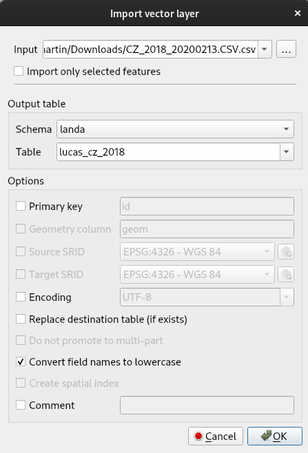
Let's download LUCAS data (year 2018) for selected country in CSV format: https://ec.europa.eu/eurostat/web/lucas/data/primary-data/2018
CSV file can be imported into PostGIS database by DB Manager Import Layer/File:
Note
Don't forget to convert field names to lowercase
Create geometry
Geometry constructors have been introduced in previous lesson.
Add a new geometry column:
and create geometry by st_point() function:
update lucas_cz_2018 set geom=st_setsrid(st_point(cast(gps_long as float), cast(gps_lat as float)), 4326);
Check result by SQL:
select count(*) from lucas_cz_2018 where st_isvalid(geom) = false;
select count(*) from lucas_cz_2018 where st_isempty(geom);
select st_x(geom), st_y(geom) from lucas_cz_2018;
Drop geometry for non-sense locations:
Add spatial index:
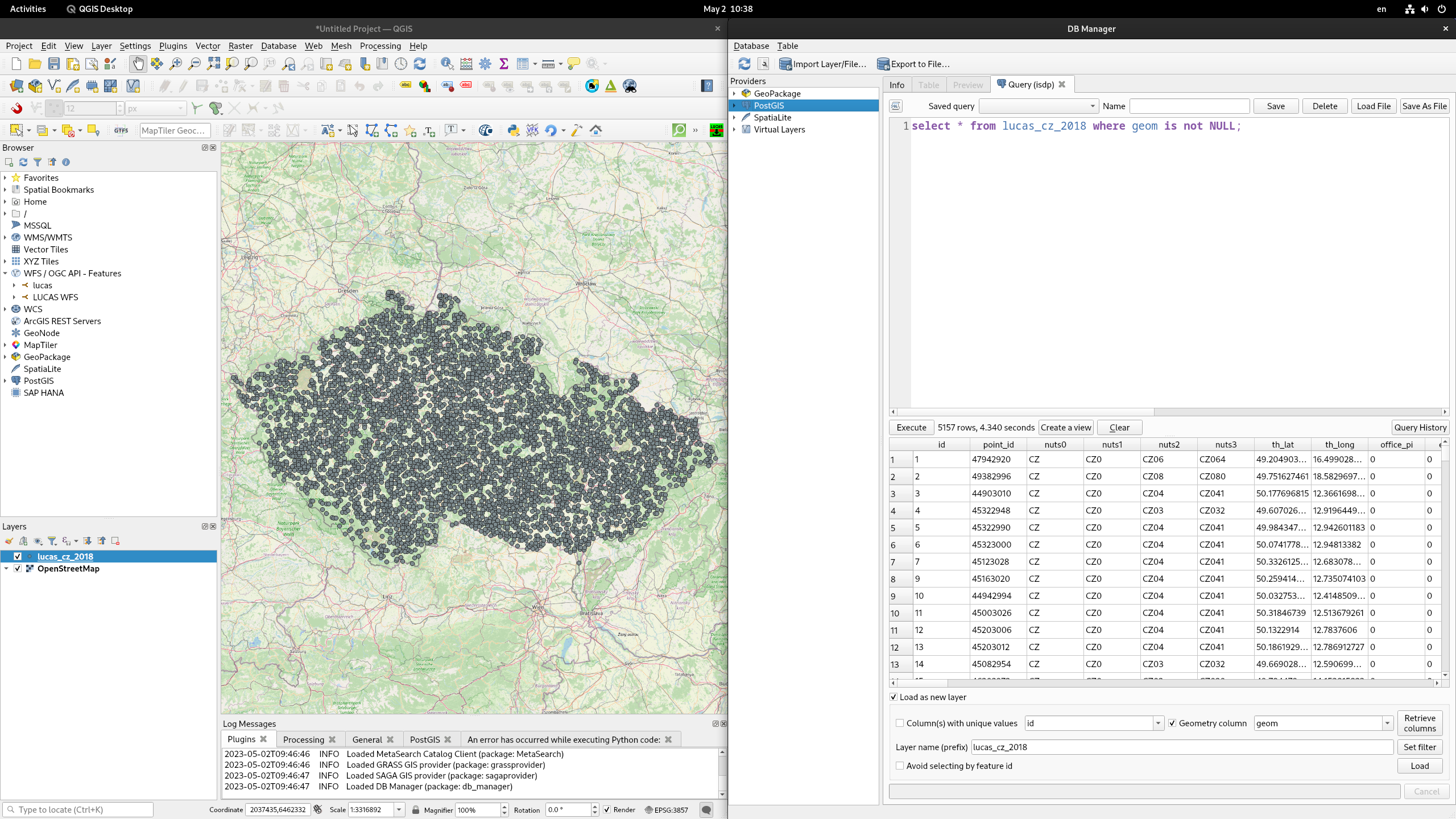
Load result of SQL query into map canvas:
Compare land use in LUCAS and OSM
Select LUCAS points located in vineyards:
with vineyard as
(select geom from landuse where fclass = 'vineyard')
select l.point_id,l.lu1 from lucas_cz_2018 as l
join vineyard as v
on st_intersects(l.geom, v.geom)
where l.geom is not NULL;
Compare with LUCAS LU1 attribute with landuse OSM attribute:
select l.point_id,l.lu1,o.fclass from lucas_cz_2018 as l
join landuse as o
on st_intersects(l.geom, o.geom)
where l.geom is not NULL;
Note
You may import LUCAS LU1 coding table in CSV format into PostGIS and get comparision of class names.
Spatial overlay
Let's continue in our example with vineyards:
select st_intersection(r.geom, v.geom) from roads as r
join vineyards as v
on st_intersects(r.geom, v.geom);
Example from previous lesson can be significantly simplified in PostGIS:
create table natural_areas as
select l.osm_id, st_intersection(nuts.geom, st_transform(l.geom, 3035)) intersected_geom
from landuse as l, nuts
where fclass = 'nature_reserve'
and nuts.nuts_id = 'CZ010'
and st_intersects(nuts.geom, st_transform(l.geom, 3035)) = True;
Note
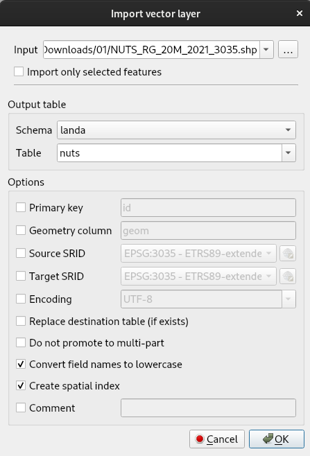
You have to import nuts data into PostGIS database. The simpliest way is to use DB Manager (Import Layer/File).
Primary key and spatial index may be created by alter table and create index statements:
alter table natural_area add primary key(osm_id);

create index on natural_area using gist (intersected_geom);
Let's take a closer look at geometries created by intersection of landuse and nuts features:
select distinct st_geometrytype(intersected_geom) from natural_areas;
select st_geometrytype(intersected_geom) as gtype, count(*) from natural_areas group by gtype;
select st_numgeometries(intersected_geom) from natural_areas where st_geometrytype(intersected_geom) = 'ST_MultiPolygon';
Mixture of muplipolygons and polygons may be not desired. Let's split
multipolygon features into multiple polygon features by st_dump():