GRASS GIS: Porovnání verzí
m →153GIS1 2008 - 2. cvičení: layout |
|||
| Řádek 31: | Řádek 31: | ||
<source lang="sql"> | <source lang="sql"> | ||
select ob_311202,nazev from obce order by ob_311202 limit 1 | select ob_311202,nazev from obce order by ob_311202 limit 1 | ||
</source> | |||
3. | |||
<source lang="sql"> | |||
SELECT nazorp FROM obce ORDER BY ob_311202 LIMIT 1 | |||
</source> | |||
4. | |||
<source lang="sql"> | |||
</source> | |||
5. | |||
<source lang="sql"> | |||
</source> | |||
6. | |||
<source lang="sql"> | |||
</source> | </source> | ||
7. | 7. | ||
<source lang="sql"> | <source lang="sql"> | ||
select nazev from obce where area > (select area from obce where nazev = 'Brno') | select nazev from obce where area > (select area from obce where nazev = 'Brno') | ||
</source> | |||
8. | |||
<source lang="sql"> | |||
</source> | |||
9. | |||
<source lang="sql"> | |||
</source> | |||
10. | |||
<source lang="sql"> | |||
</source> | |||
11. | |||
<source lang="sql"> | |||
</source> | |||
12. | |||
<source lang="sql"> | |||
</source> | </source> | ||
13. | 13. | ||
| Řádek 43: | Řádek 71: | ||
<source lang="sql"> | <source lang="sql"> | ||
select count(*) from obce where nazorp_eng='Tabor' and nazev like '%ice' | select count(*) from obce where nazorp_eng='Tabor' and nazev like '%ice' | ||
</source> | |||
15. | |||
<source lang="sql"> | |||
</source> | |||
16. | |||
<source lang="sql"> | |||
</source> | |||
17. | |||
<source lang="sql"> | |||
</source> | |||
18. | |||
<source lang="sql"> | |||
</source> | |||
19. | |||
<source lang="sql"> | |||
</source> | |||
20. | |||
<source lang="sql"> | |||
</source> | </source> | ||
Verze z 2. 12. 2008, 13:32

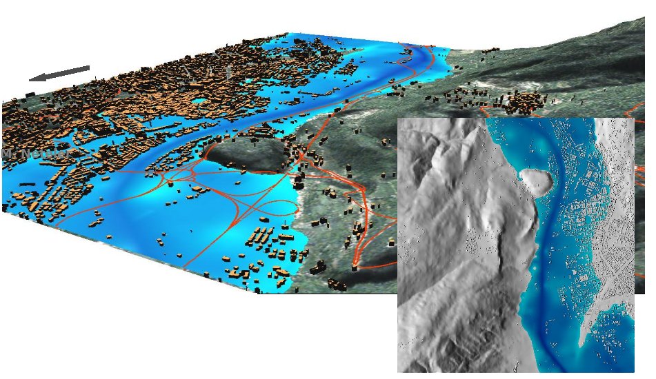
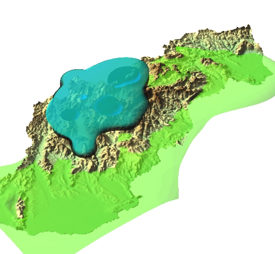
GRASS GIS (Geographic Resources Analysis Support System) je svobodný software - geografický informační systém (GIS) umožňující správu geoprostorových dat, jejich analýzu, zpracování obrazových dat, produkci mapových výstupů, geoprostorové modelování a vizualizaci dat. GRASS je běžně používán jak v akademické tak v komerční sféře po celém světě. GRASS je oficiální projektem Open Source Geospatial Foundation, multiplatformní aplikací šířenou pod licencí GNU GPL.
Vývoj GRASSu byl započat výzkumnými laboratořemi ženijního vojska armády USA v roce 1982, později pronikl do akademické sféry a dnes nachází uplatnění i ve sféře komerční. Mezi významné uživatele GRASSu patří například NASA nebo NOAA.
 |
 |
Výuka
Příklady
153GIS1 2008 - 2. cvičení
1.
select area,nazev from obce order by area limit 1
2.
select ob_311202,nazev from obce order by ob_311202 limit 1
3.
SELECT nazorp FROM obce ORDER BY ob_311202 LIMIT 1
4.
5.
6.
7.
select nazev from obce where area > (select area from obce where nazev = 'Brno')
8.
9.
10.
11.
12.
13.
select count(*) from obce where nazev_eng like '__________'
14.
select count(*) from obce where nazorp_eng='Tabor' and nazev like '%ice'
15.
16.
17.
18.
19.
20.
153GIS1 2008 - 3. cvičení
1.
v.select ainput=obce atype=area binput=ZELEZ btype=line output=obce_zel
2.
v.select ainput=ZEL_STAN atype=point binput=LESY btype=area output=zel_les
