Seznam souborů
Tato speciální stránka zobrazuje všechny načtené soubory.
| Datum | Název | Náhled | Velikost (bajtů) | Uživatel | Popis | Verze |
|---|---|---|---|---|---|---|
| 23. 3. 2011, 15:13 | Gis2 cviceni5 vysledek2.jpg (soubor) |  |
42 KB | Landa | {{GIS}} | 1 |
| 23. 3. 2011, 15:14 | Gis2 cviceni5 vysledek3.jpg (soubor) |  |
23 KB | Landa | {{GIS}} | 1 |
| 14. 10. 2008, 12:10 | Gisday-10yrs1.jpg (soubor) |  |
60 KB | Landa | GIS Day logo | 1 |
| 3. 11. 2008, 16:04 | Gisday08-cvut.pdf (soubor) | 288 KB | Landa | GIS Day leták (opraven odkaz na prof. Cepka) | 2 | |
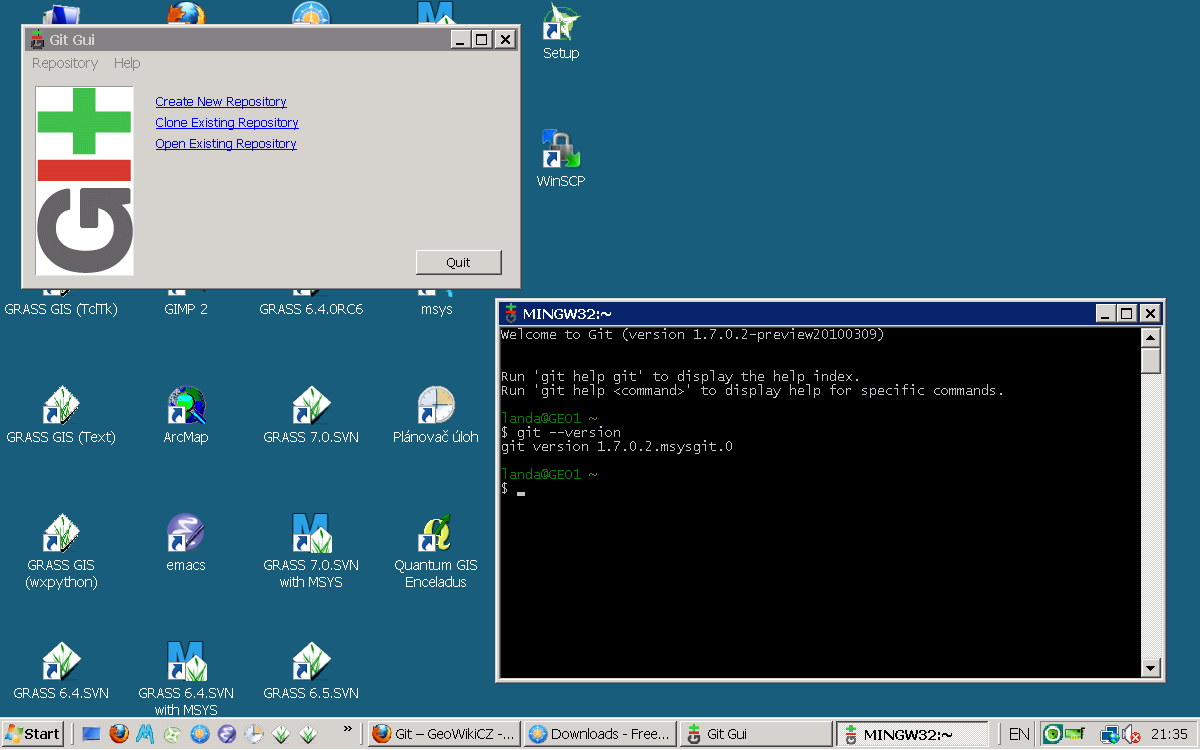
| 19. 4. 2010, 19:40 | Git-windows.png (soubor) |  |
70 KB | Landa | Git na MS Windows | 1 |
| 11. 4. 2010, 15:29 | Git.png (soubor) | 59 KB | Landa | Git logo | 1 | |
| 11. 1. 2013, 12:55 | Gizela.sit.test.png (soubor) |  |
80 KB | Kubin | 1 | |
| 29. 9. 2013, 07:57 | Gk-logo.png (soubor) | 8 KB | Landa | Logo | 1 | |
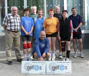
| 25. 4. 2007, 19:57 | Gk2007-turnaj-fotografie.jpg (soubor) |  |
31 KB | Soucek | Fotografie družstva Oldies z 5. ročníku volejbalového turnaje geodetů a kartografů 2007 | 1 |
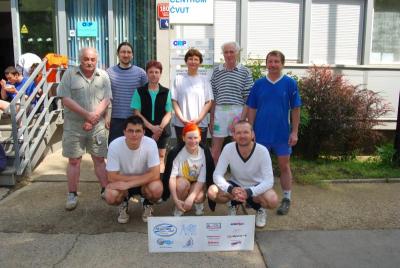
| 2. 6. 2008, 19:18 | Gk2008-oldies-400px.jpg (soubor) |  |
89 KB | Soucek | Složení družstva Oldies pro letošní ročník turnaje | 1 |
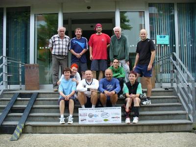
| 5. 6. 2009, 10:22 | Gk2009-oldies-400px.jpg (soubor) |  |
55 KB | Soucek | Složení družstva Oldies na turnaji GK2009 | 1 |
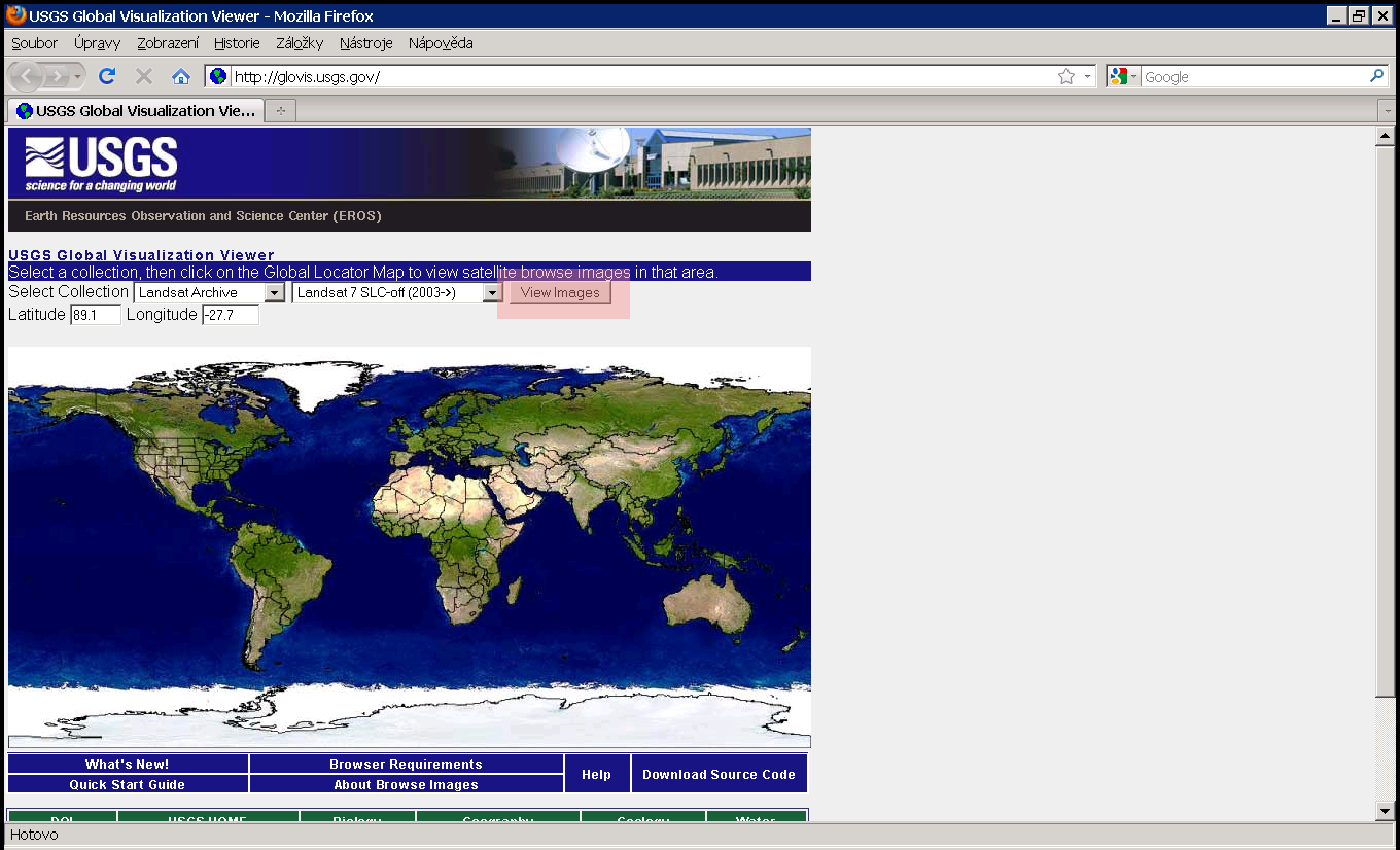
| 16. 9. 2010, 15:19 | Glovis-0.png (soubor) |  |
330 KB | Landa | Stažení TM | 1 |
| 16. 9. 2010, 15:17 | Glovis-1.png (soubor) |  |
76 KB | Landa | Stažení TM | 1 |
| 16. 9. 2010, 15:04 | Glovis-2.png (soubor) |  |
409 KB | Landa | Stažení TM | 1 |
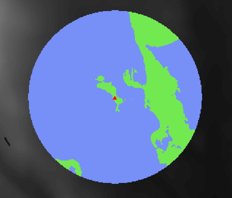
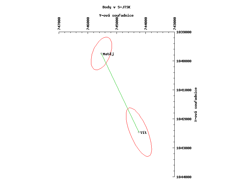
| 17. 11. 2008, 21:11 | Gnuplot-body-sjtsk.png (soubor) |  |
4 KB | Kubin | 2 | |
| 16. 4. 2008, 09:01 | Gocesat4.1 eng.jpg (soubor) |  |
12 KB | Cepek | 1 | |
| 16. 4. 2008, 09:03 | Gpssat eng.gif (soubor) |  |
43 KB | Cepek | 1 | |
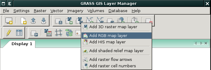
| 15. 10. 2013, 15:07 | Grass-add-rgb.png (soubor) |  |
28 KB | Landa | Přidání barevné syntézy v prostředí wxGUI {{GRASS}} | 1 |
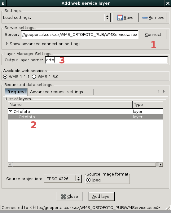
| 18. 12. 2013, 08:25 | Grass-add-wms-dialog.png (soubor) |  |
46 KB | Landa | Dialog pro přidání nové WMS vrstvy {{GRASS}} | 1 |
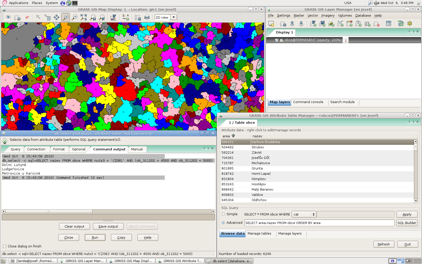
| 6. 10. 2010, 13:48 | Grass-atm-example.png (soubor) |  |
228 KB | Landa | Ukázka atributových dotazů v prostředí GRASS GIS {{GRASS GIS}} | 1 |
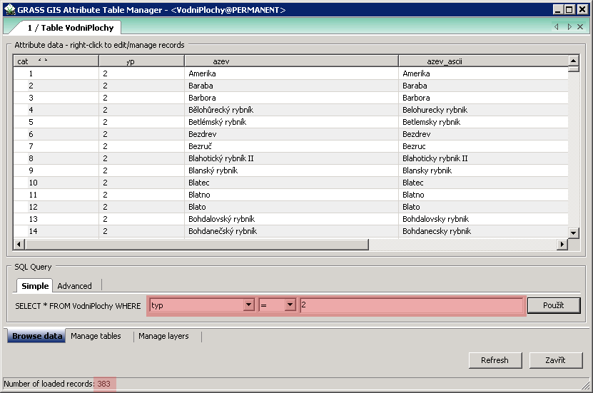
| 1. 10. 2013, 10:03 | Grass-atributy-rybniky.png (soubor) |  |
13 KB | Landa | Řešení první úlohy v systému GRASS {{GRASS}} | 1 |
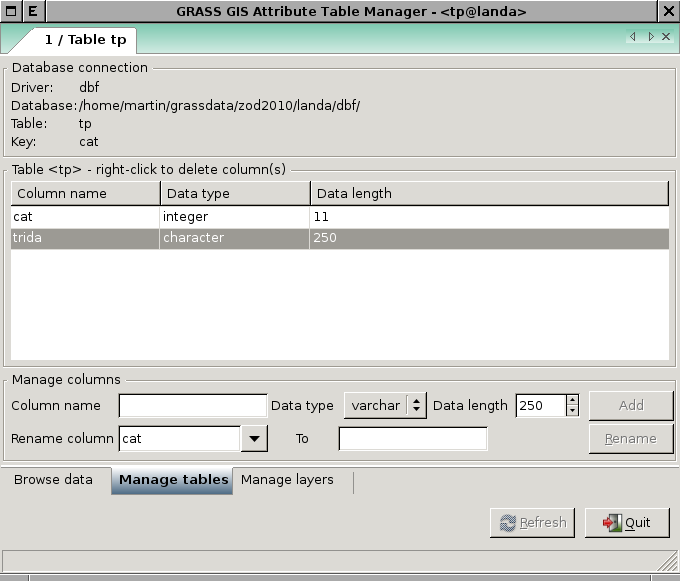
| 13. 12. 2010, 15:22 | Grass-attrb.png (soubor) |  |
32 KB | Landa | Atributová tabulka vektorové vrstvy trénovacích ploch {{GRASS}} | 1 |
| 29. 9. 2008, 09:33 | Grass-cli.png (soubor) |  |
810 KB | Landa | GRASS CLI {{ZOD}} | 1 |
| 5. 11. 2013, 14:25 | Grass-clip.png (soubor) |  |
190 KB | Landa | Řešení první úlohy v systému GRASS | 1 |
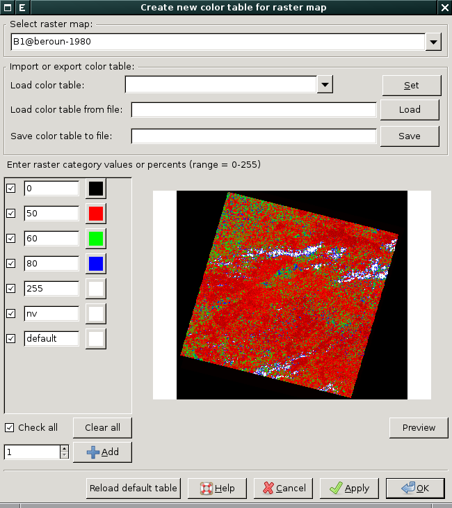
| 7. 10. 2013, 08:40 | Grass-colors-dialog.png (soubor) |  |
145 KB | Landa | Interaktivní určení tabulky barev, dialog je dostupný z menu Raster → Manage colors → Manage color rules interactively {{GRASS}} | 1 |
| 15. 10. 2013, 15:10 | Grass-colors-multi.png (soubor) |  |
21 KB | Landa | Nastavení tabulky barev pro více rastrových map v prostředí wxGUI {{GRASS}} | 1 |
| 22. 9. 2009, 19:27 | Grass-cs.png (soubor) |  |
147 KB | Landa | Lokalizace GRASS GIS {{GRASS}} | 1 |
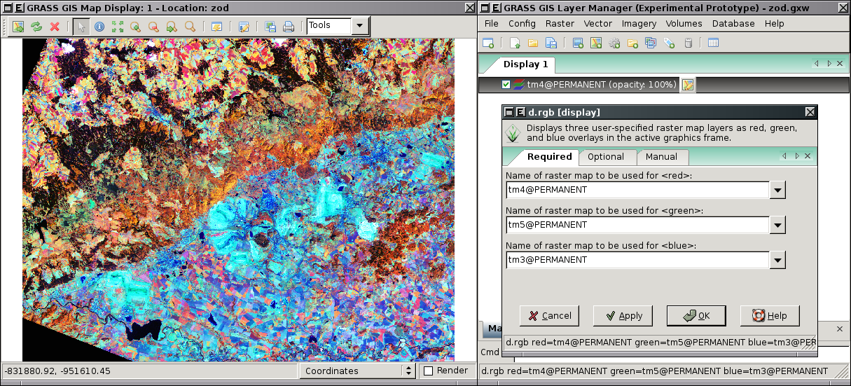
| 29. 9. 2008, 13:29 | Grass-d rgb-wxgui.png (soubor) |  |
822 KB | Landa | GRASS wxGUI - RGB dialog {{ZOD}} | 1 |
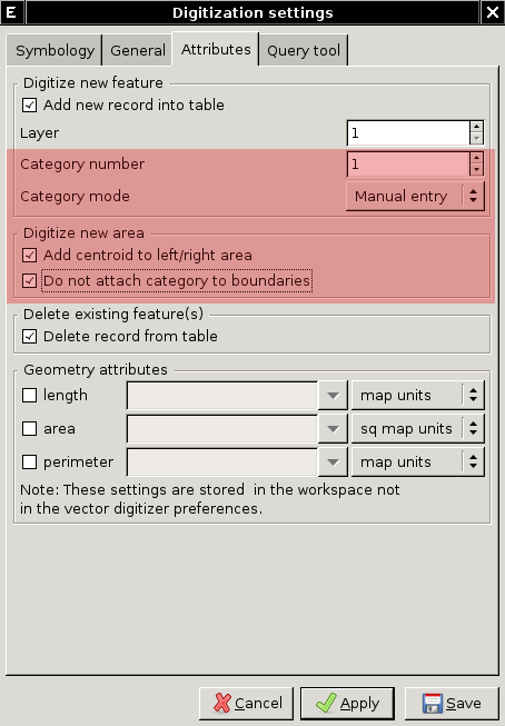
| 13. 12. 2010, 15:27 | Grass-digit-settings.png (soubor) |  |
31 KB | Landa | Nastavení digitizéru při vektorizaci trénovacích ploch {{GRASS}} | 1 |
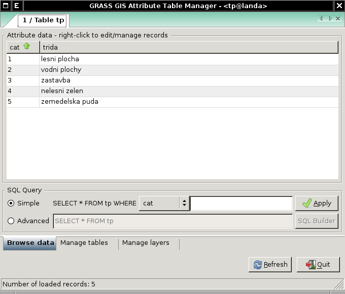
| 13. 12. 2010, 16:09 | Grass-digit-tp.png (soubor) |  |
31 KB | Landa | Atributy vektorové vrstvy trénovacích ploch {{GRASS}} | 1 |
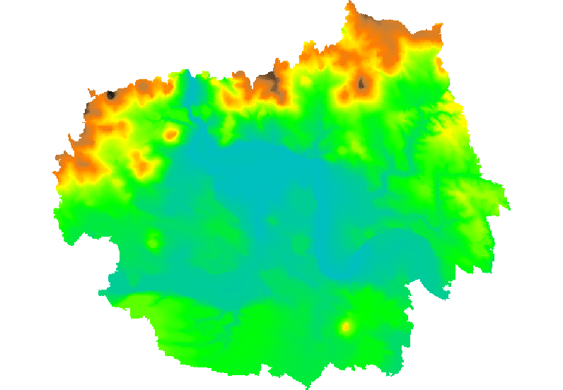
| 19. 2. 2014, 08:42 | Grass-dmt-ltm-2d.png (soubor) |  |
119 KB | Landa | Vygenerovaný DMT z vektorových vrstevnic (2D pohled) {{GRASS}} | 1 |
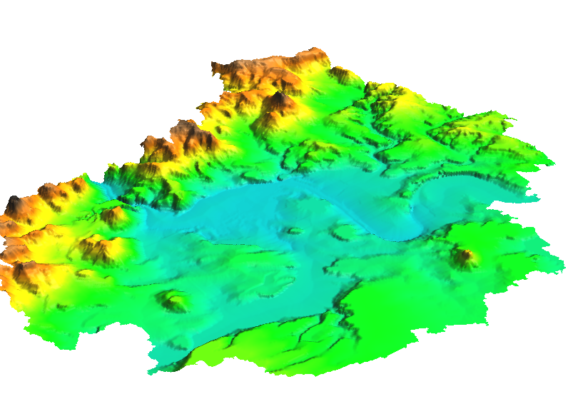
| 19. 2. 2014, 08:42 | Grass-dmt-ltm-3d.png (soubor) |  |
306 KB | Landa | Vygenerovaný DMT z vektorových vrstevnic (3D pohled) {{GRASS}} | 1 |
| 29. 9. 2008, 12:00 | Grass-g list-wxgui.png (soubor) |  |
29 KB | Landa | GUI dialog modulu g.list {{ZOD}} | 1 |
| 5. 11. 2013, 18:23 | Grass-georect.png (soubor) |  |
231 KB | Landa | Souřadnicové připojení rastru cesko800.gif v systému ArcGIS {{GRASS}} | 1 |
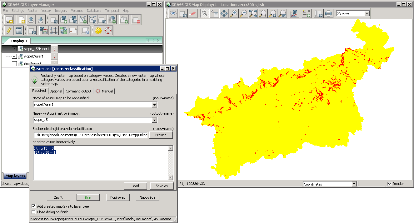
| 26. 2. 2014, 08:47 | Grass-gis2-cv2.png (soubor) |  |
46 KB | Landa | Reklasifikace rastrové mapy sklonu svahu v systému GRASS {{GRASS}} | 1 |
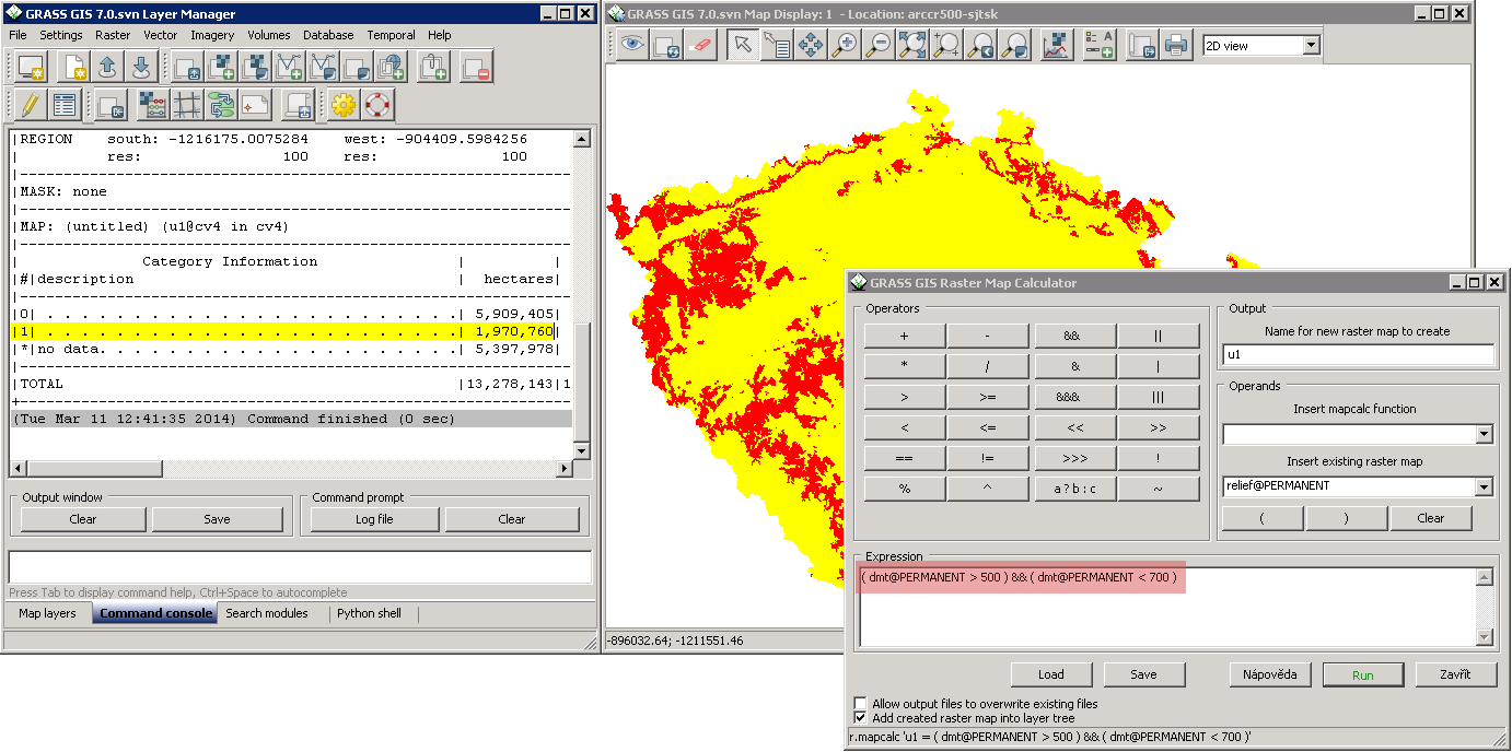
| 4. 3. 2014, 14:06 | Grass-gis2-cv3.png (soubor) |  |
125 KB | Landa | Řešení první úlohy třetího cvičení GIS 2 v systému GRASS {{GRASS}} | 1 |
| 11. 3. 2014, 11:49 | Grass-gis2-cv4.png (soubor) |  |
48 KB | Landa | Řešení první úlohy čtvrtého cvičení GIS 2 v systému GRASS {{GRASS}} | 1 |
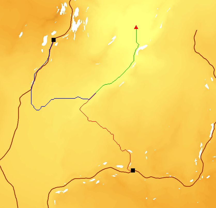
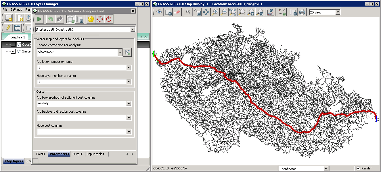
| 24. 3. 2015, 22:10 | Grass-gis2-cv7-grass.png (soubor) |  |
391 KB | Landa | Nalezení nejrychlejší cesty z nejvýchodněji položené obce v ČR (Hrčava) do nejzápadněji položené obce (Krásná) v systému GRASS {{GRASS}} | 1 |
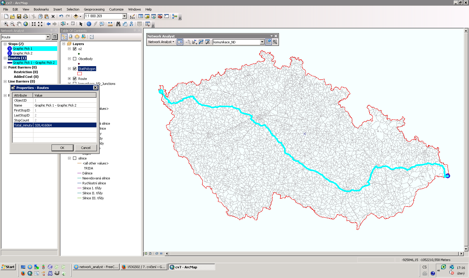
| 8. 4. 2014, 15:19 | Grass-gis2-cv7.png (soubor) |  |
183 KB | Landa | Řešení první úlohy sedmého cvičení GIS 2 v ArcGIS {{ArcGIS}} | 1 |
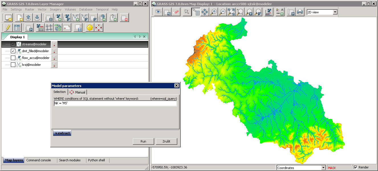
| 20. 5. 2014, 14:49 | Grass-gis2-cv9-1.png (soubor) |  |
149 KB | Landa | Spuštění úlohy modeleru v systému GRASS {{GRASS}} | 1 |
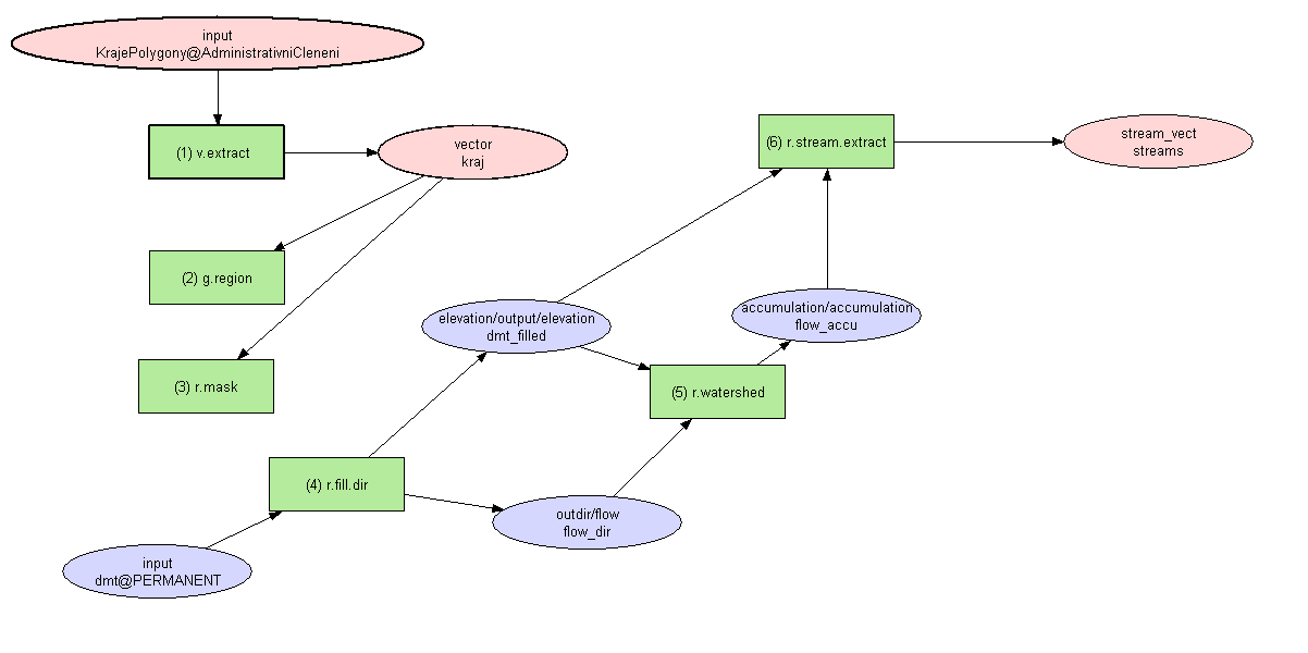
| 20. 5. 2014, 14:41 | Grass-gis2-cv9.png (soubor) |  |
12 KB | Landa | Řešení úlohy devátého cvičení GIS 2 v systému GRASS {{GRASS}} | 1 |
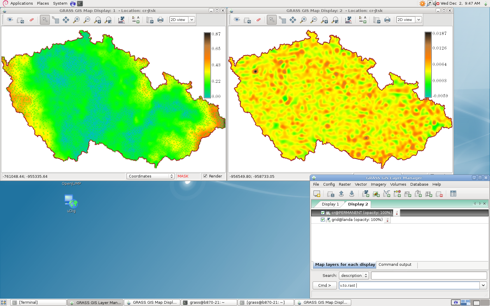
| 2. 12. 2009, 08:49 | Grass-grid.png (soubor) |  |
587 KB | Landa | GRASS GIS: Transformace S-JTSK <-> WGS84 {{GRASS}} | 1 |
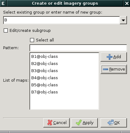
| 11. 1. 2014, 16:43 | Grass-group-dialog-B.png (soubor) |  |
20 KB | Landa | Založení obrazové skupiny ve wxGUI {{GRASS}} | 1 |
| 19. 11. 2013, 10:41 | Grass-gs01-6-1.png (soubor) |  |
108 KB | Landa | Řešení první úlohy v systému GRASS GIS {{GRASS}} | 1 |
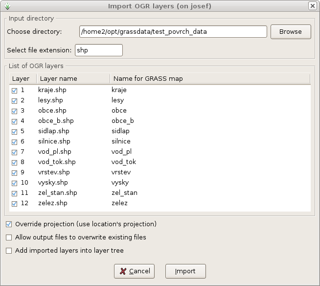
| 18. 2. 2010, 12:43 | Grass-import-ogr.png (soubor) |  |
43 KB | Landa | Import dat ve formátu ERI Shapefile {{GRASS}} | 1 |
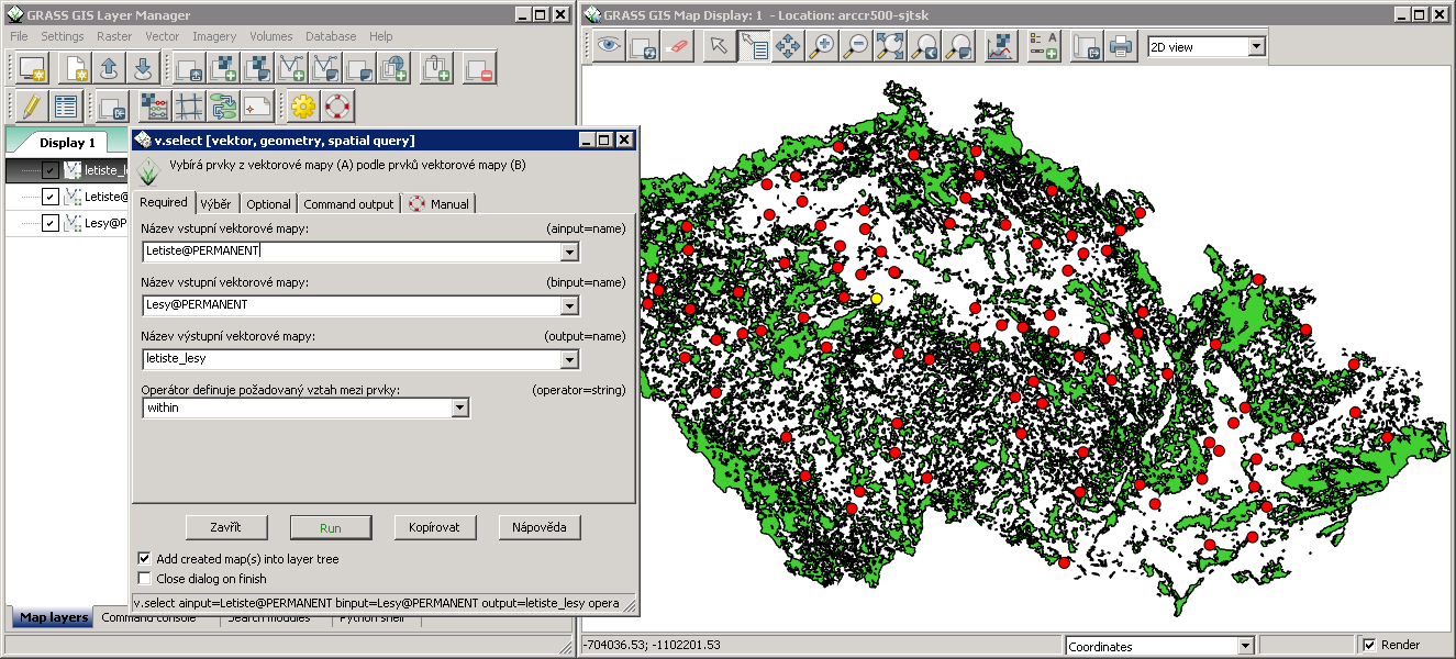
| 8. 10. 2013, 08:38 | Grass-letiste-les.png (soubor) |  |
370 KB | Landa | Řešení první úlohy v systému GRASS {{GRASS}} | 1 |
| 17. 4. 2008, 15:59 | Grass-logo.png (soubor) | 6 KB | Landa | GRASS GIS logo | 1 | |
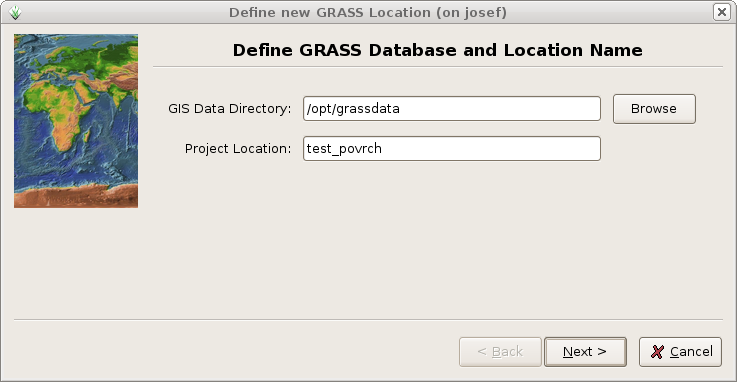
| 18. 2. 2010, 12:33 | Grass-lokace-0.png (soubor) |  |
77 KB | Landa | Název lokace {{GRASS}}} | 1 |
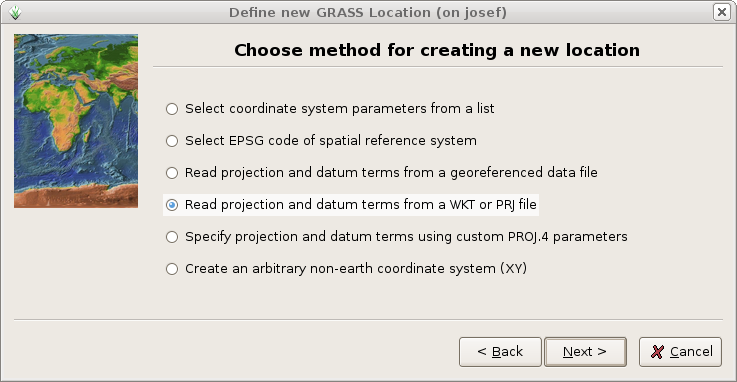
| 18. 2. 2010, 12:33 | Grass-lokace-1.png (soubor) |  |
87 KB | Landa | Metoda definice lokace {{GRASS}} | 1 |
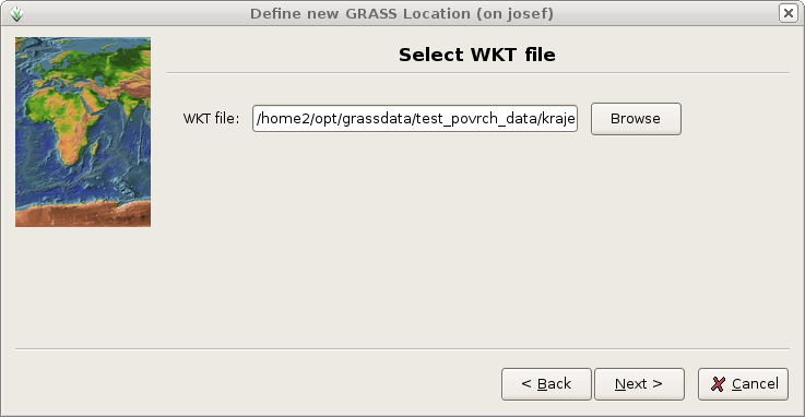
| 18. 2. 2010, 12:34 | Grass-lokace-2.png (soubor) |  |
73 KB | Landa | Cesta k souboru PRJ {{GRASS}} | 1 |