Soubory uživatele Landa
Tato speciální stránka zobrazuje všechny načtené soubory.
| Datum | Název | Náhled | Velikost (bajtů) | Popis | Verze |
|---|---|---|---|---|---|
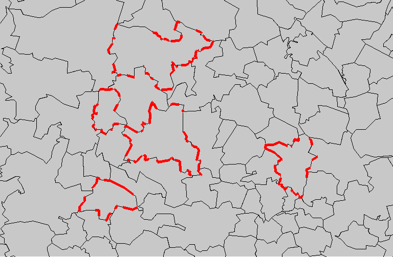
| 14. 10. 2009, 16:25 | D vect obce.png (soubor) |  |
21 KB | Vizualizace vektorové vrstvy 'obce', červeně jsou zvýrazněny plochy s výměrou menší než 10m<sup>2</sup> {{GRASS}} | 1 |
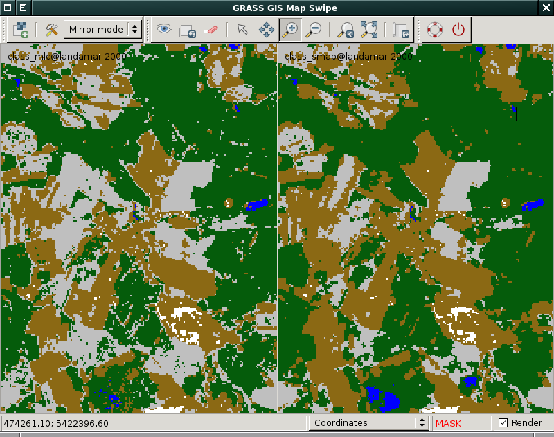
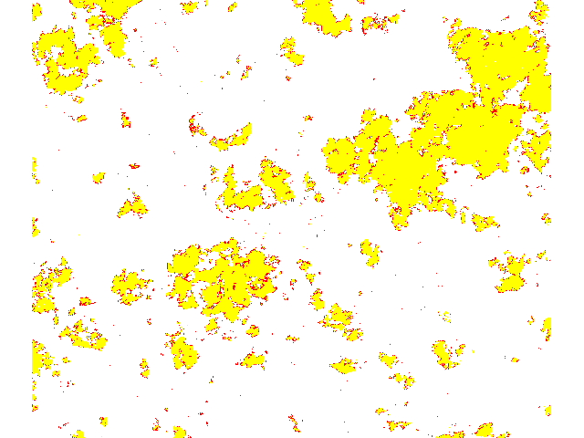
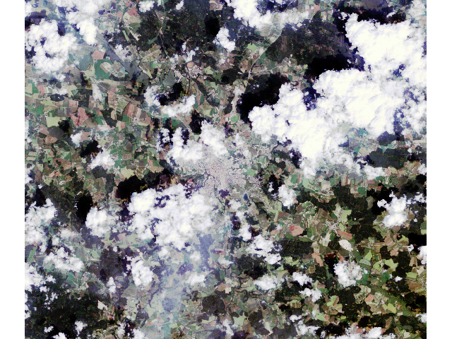
| 16. 12. 2013, 11:43 | Class-mlc-smap-mapswipe.png (soubor) |  |
46 KB | Porovnání výsledku klasifikátoru MLC a SMAP, bez postklasifikačních úprav {{GRASS}} | 1 |
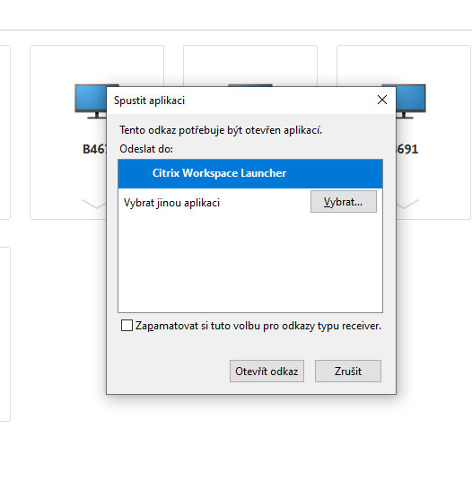
| 18. 3. 2020, 11:51 | Citrix-windows.png (soubor) |  |
696 KB | 1 | |
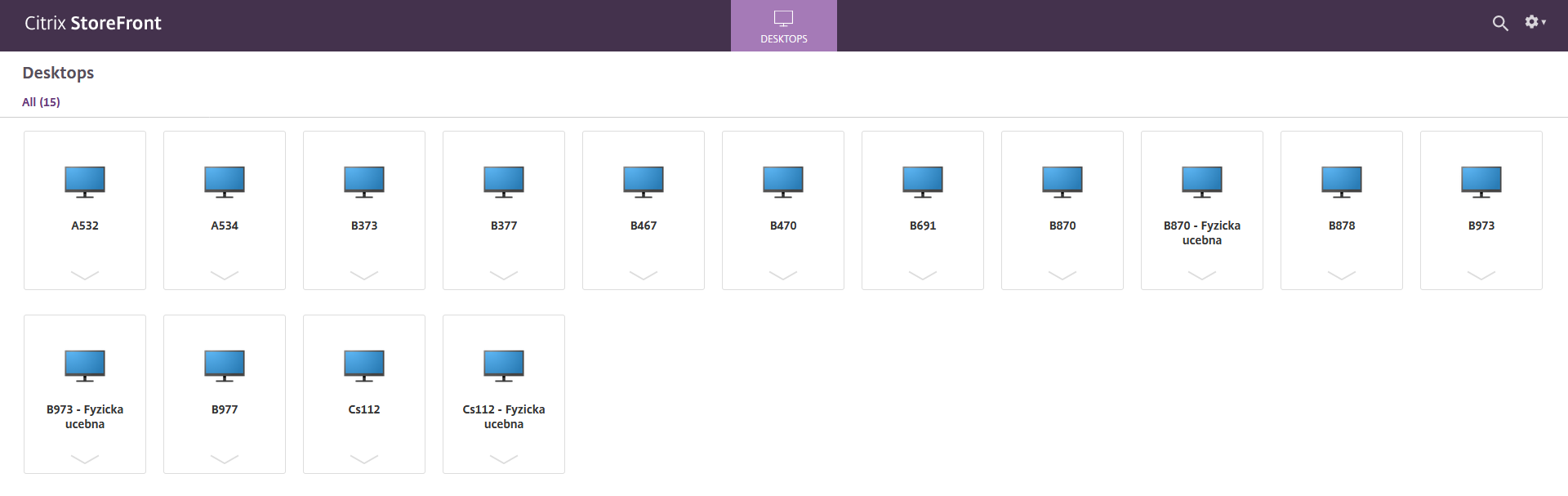
| 18. 3. 2020, 11:42 | Citrix-log-in.png (soubor) | 160 KB | 1 | ||
| 18. 3. 2020, 11:43 | Citrix-launch.png (soubor) |  |
23 KB | 1 | |
| 18. 3. 2020, 23:13 | Citrix-download.png (soubor) |  |
150 KB | 1 | |
| 18. 3. 2020, 23:12 | Citrix-detect.png (soubor) | 67 KB | 1 | ||
| 18. 3. 2020, 11:43 | Citrix-b870.png (soubor) |  |
31 KB | 1 | |
| 25. 11. 2008, 16:59 | Cepicky-webgis.pdf (soubor) | 3,71 MB | Free Software GIS, prednaska, Jachym Cepicky | 1 | |
| 8. 10. 2011, 19:18 | Calculator.png (soubor) |  |
1 KB | {{GRASS}} | 1 |
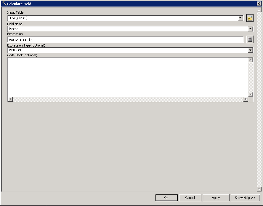
| 14. 4. 2011, 12:52 | Calculate-field.png (soubor) |  |
10 KB | 2 | |
| 15. 3. 2006, 00:48 | C plus plus Bc. 8.png (soubor) |  |
3 KB | 1 | |
| 15. 3. 2006, 00:43 | C plus plus Bc. 7.png (soubor) |  |
3 KB | 1 | |
| 14. 3. 2006, 20:48 | C plus plus Bc. 6.png (soubor) |  |
3 KB | 1 | |
| 26. 3. 2006, 21:59 | C plus plus Bc. 5.png (soubor) |  |
3 KB | 1 | |
| 24. 3. 2016, 10:07 | Body.svg (soubor) |  |
34 KB | 1 | |
| 15. 11. 2010, 21:41 | B acca.png (soubor) |  |
24 KB | Výsledek detekce oblačnosti {{GRASS}} | 1 |
| 7. 9. 2017, 13:42 | B870-ubuntu.png (soubor) |  |
2,02 MB | 2 | |
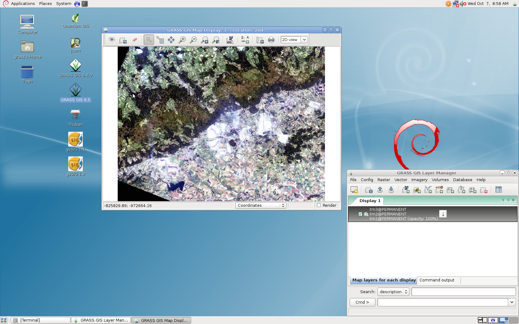
| 7. 10. 2009, 06:59 | B870-grass.png (soubor) |  |
1,15 MB | Screenshot obrazovky B870 | 1 |
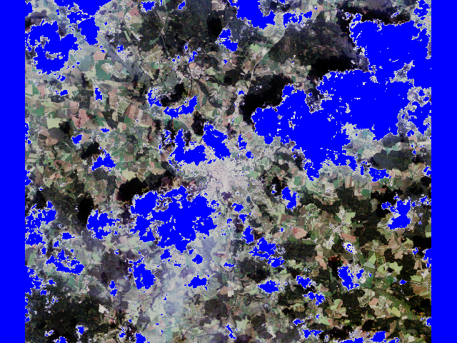
| 15. 11. 2010, 21:41 | B321 cloud.png (soubor) |  |
547 KB | Barevná syntéza 321 s maskou oblačnosti {{GRASS}} | 1 |
| 15. 11. 2010, 21:39 | B321.png (soubor) |  |
619 KB | Barevná syntéza 321 {{GRASS}} | 1 |
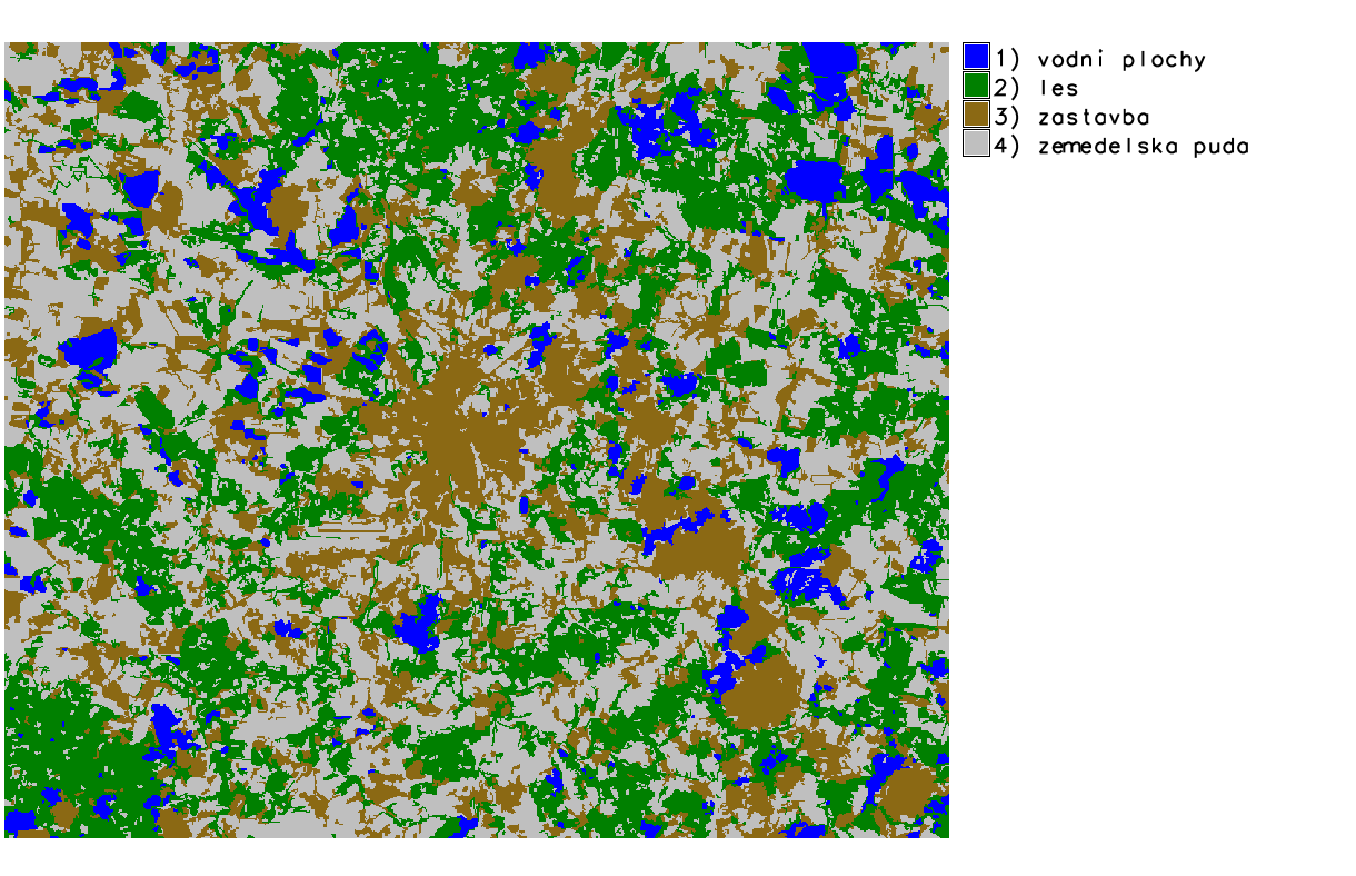
| 13. 1. 2014, 23:02 | B-obj-class.png (soubor) |  |
119 KB | Výsledek objektově orientované včetně legendy {{GRASS}} | 1 |
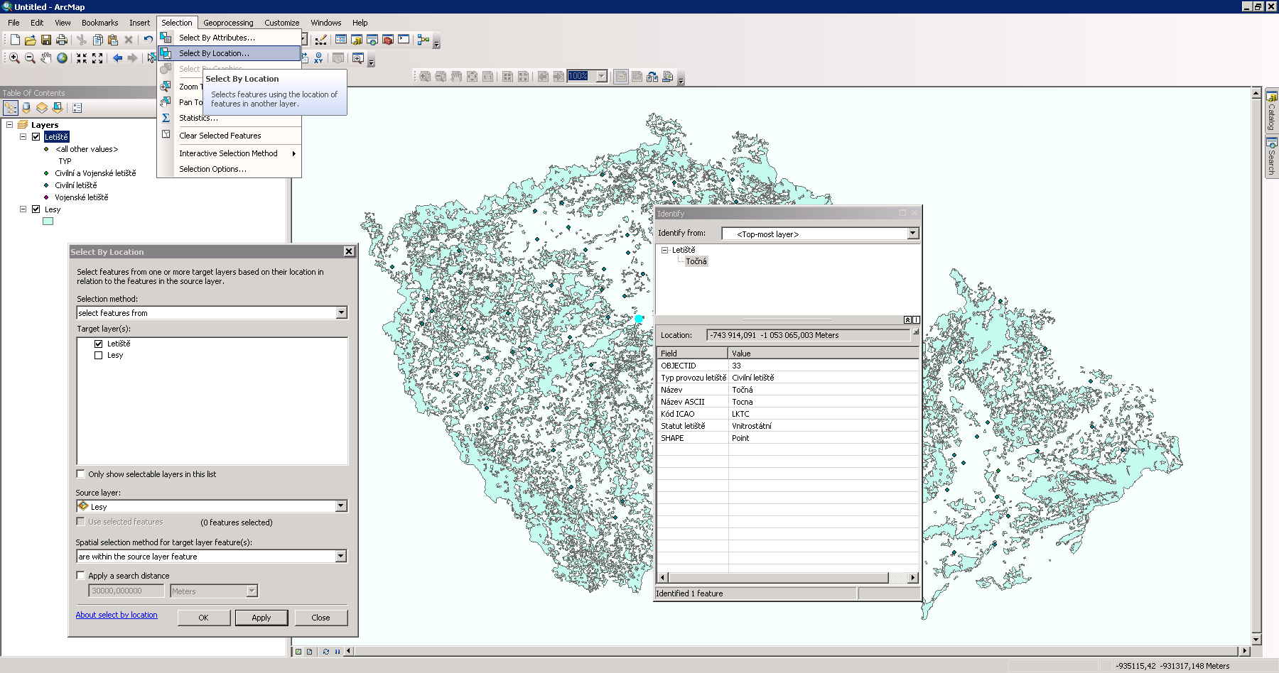
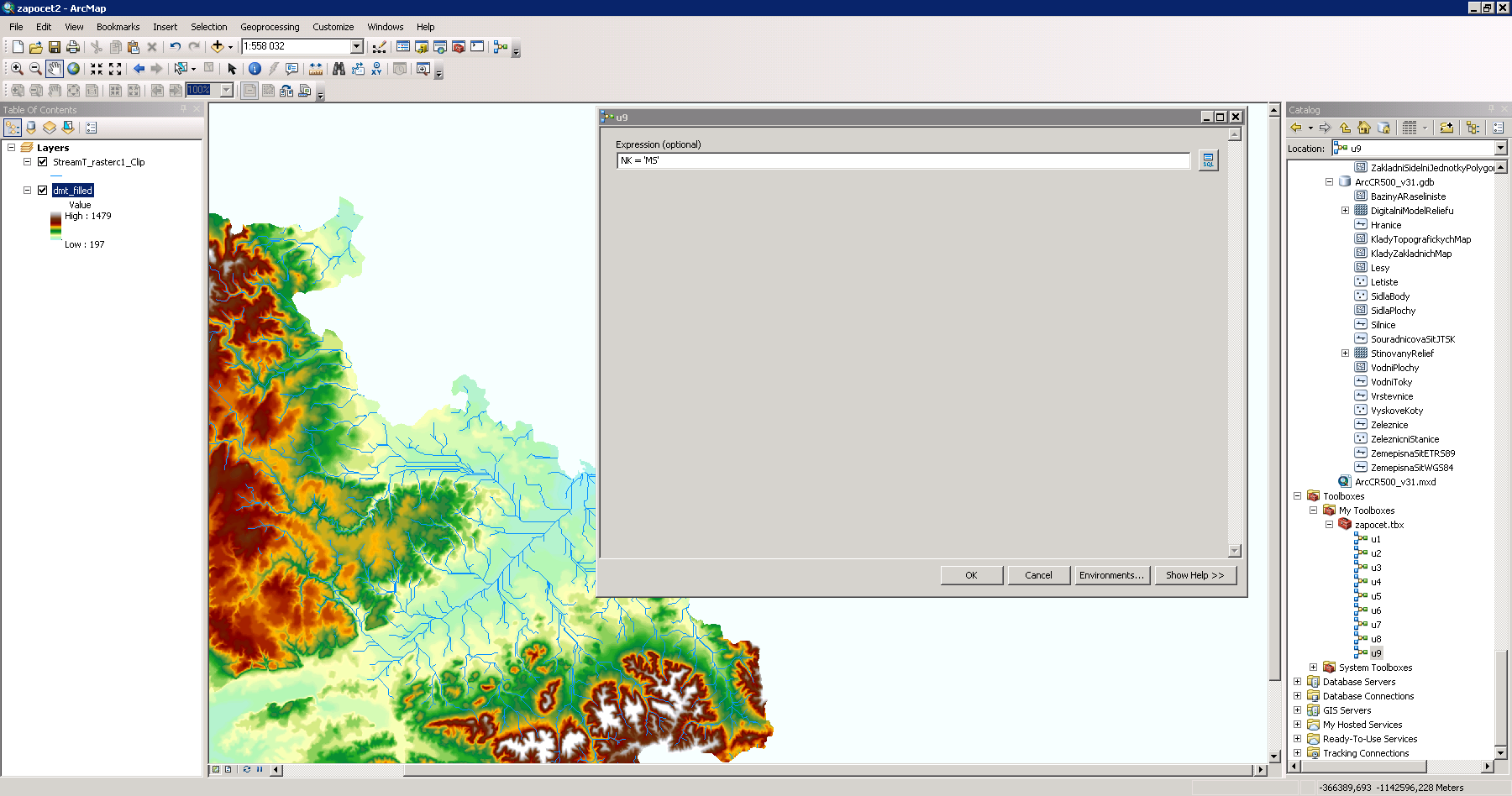
| 8. 10. 2013, 08:26 | Argis-letiste-les.png (soubor) |  |
156 KB | Řešení první úlohy v ArcGIS {{GIS}} | 1 |
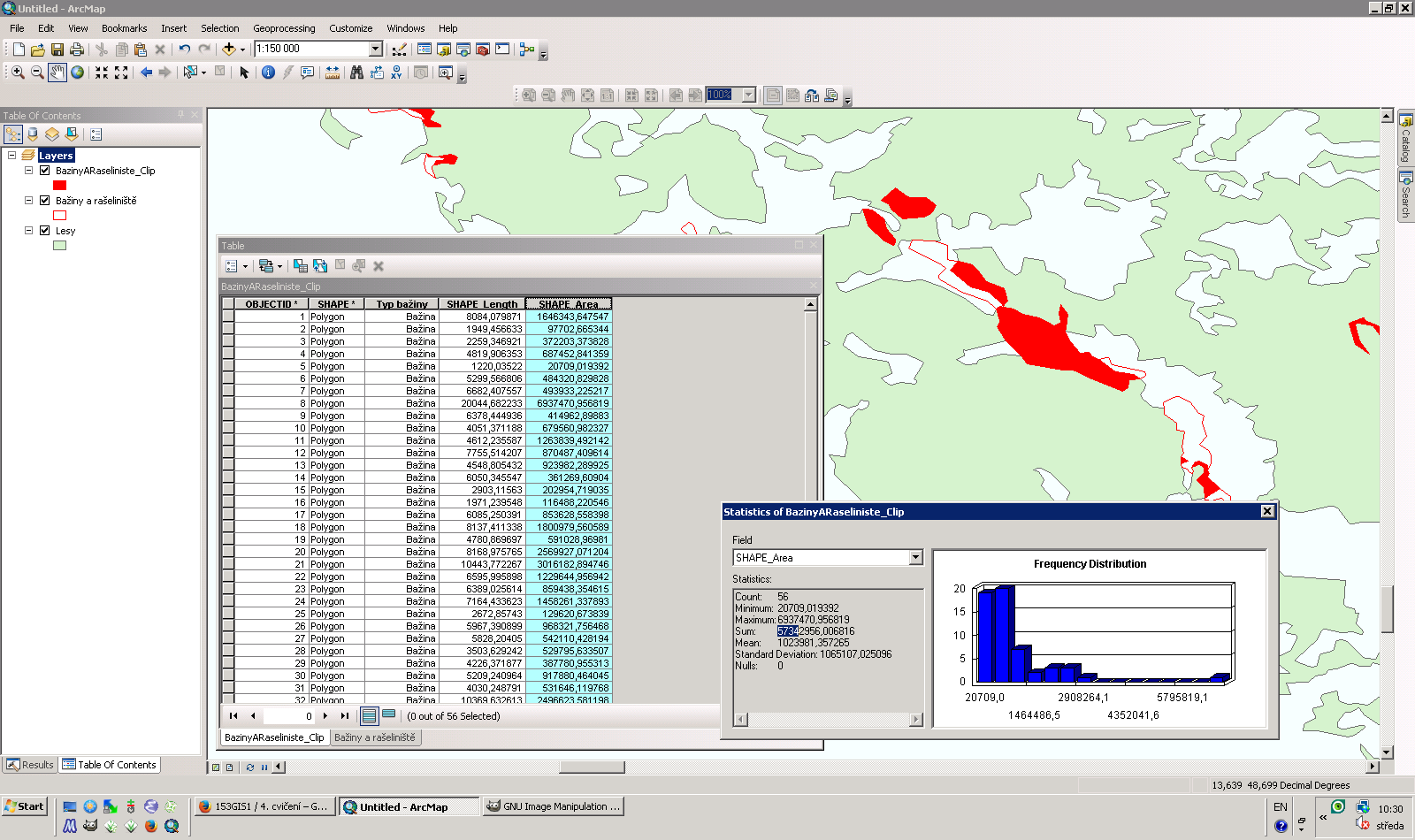
| 30. 10. 2013, 09:32 | Argis-clip.png (soubor) |  |
123 KB | Řešení první úlohy v ArcGIS {{GIS}} | 1 |
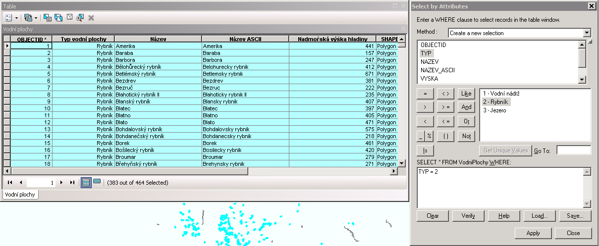
| 30. 9. 2013, 16:06 | Argis-atributy-rybniky.png (soubor) |  |
34 KB | Řešení první úlohy v ArcGIS {{GIS}} | 1 |
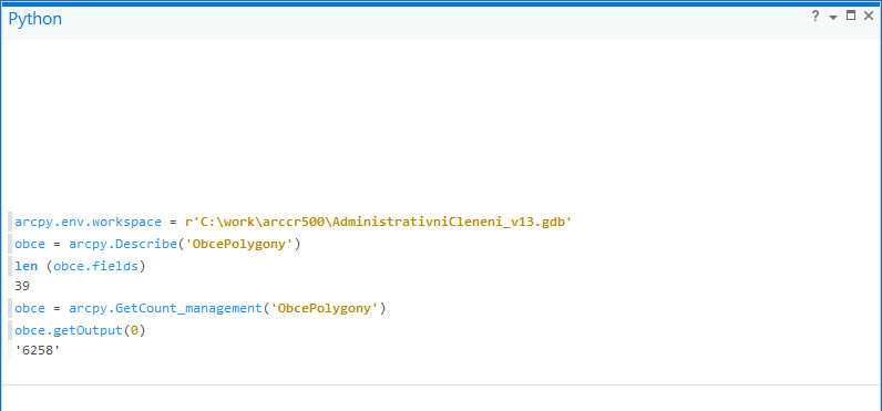
| 7. 5. 2020, 10:57 | Arcpy.png (soubor) |  |
15 KB | 2 | |
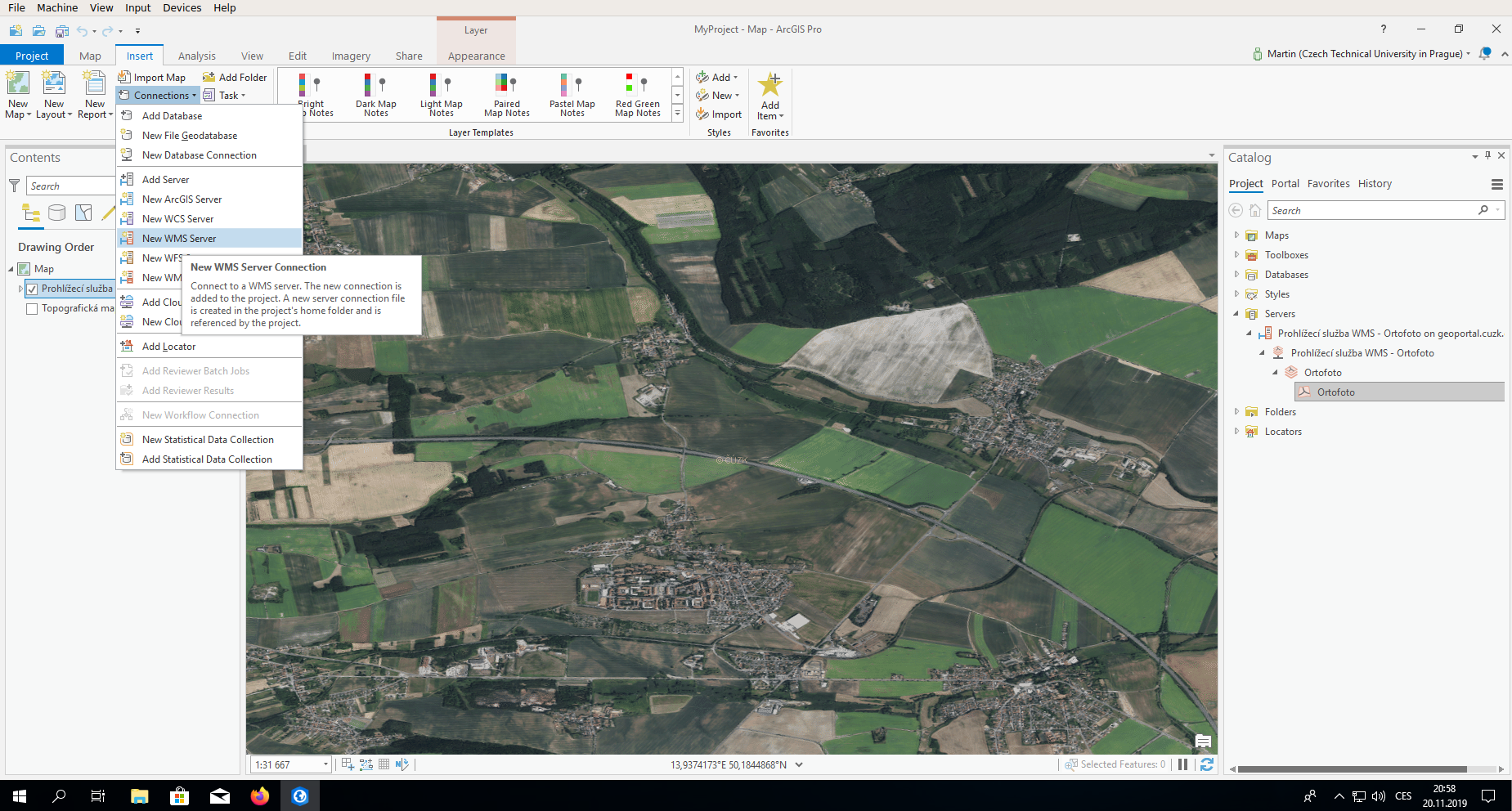
| 20. 11. 2019, 20:03 | Arcgispro-wms.png (soubor) |  |
1,38 MB | 1 | |
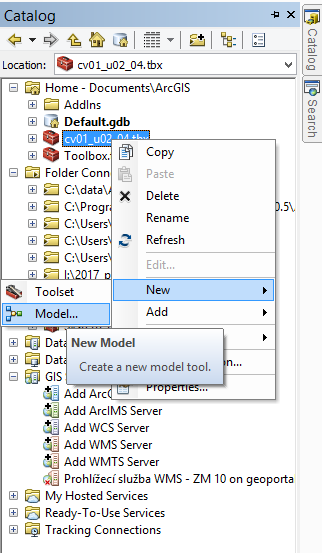
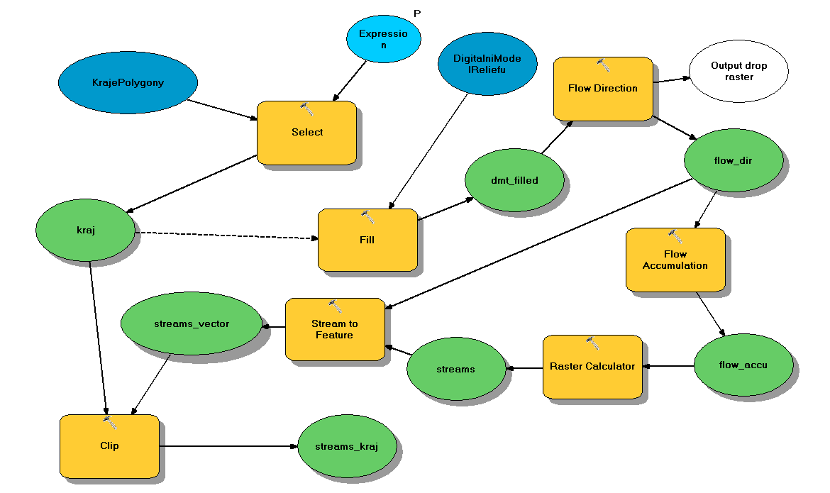
| 20. 11. 2018, 14:09 | Arcgis toolbox model.png (soubor) |  |
38 KB | 1 | |
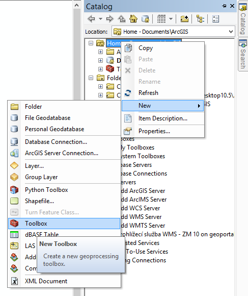
| 20. 11. 2018, 14:08 | Arcgis toolbox.png (soubor) |  |
46 KB | 1 | |
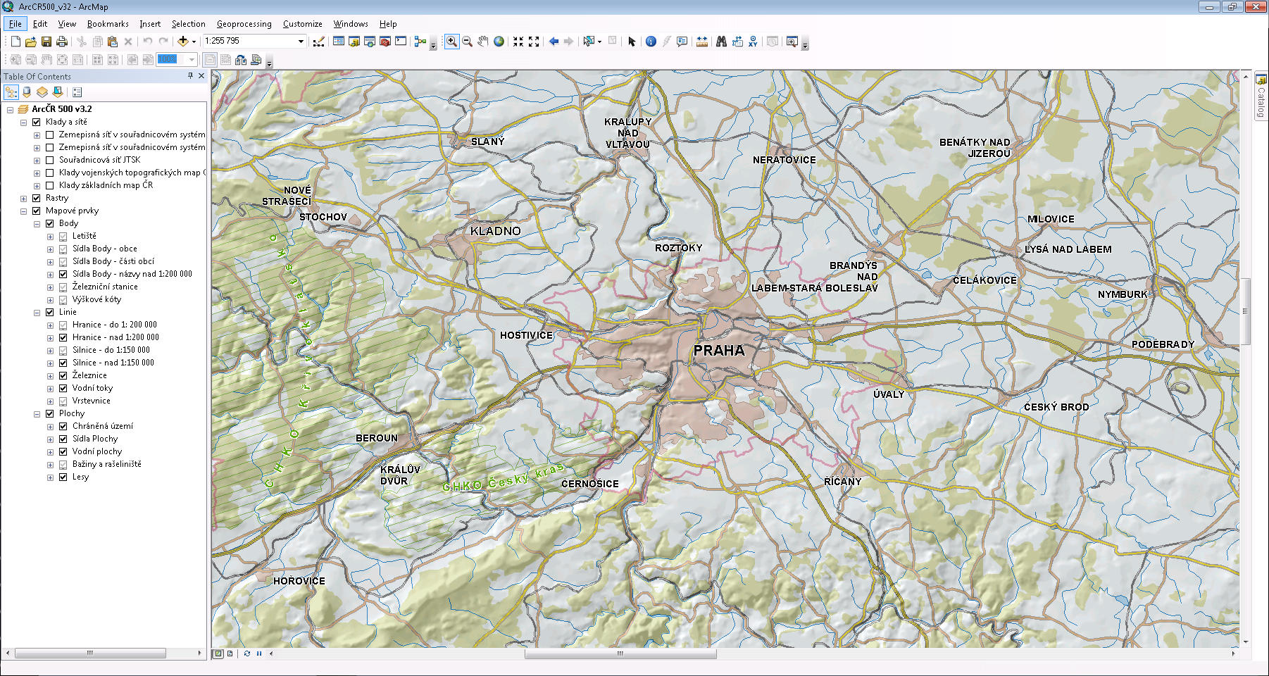
| 4. 10. 2016, 20:35 | Arcgis.png (soubor) |  |
764 KB | Prostředí Esri ArcGIS | 1 |
| 10. 12. 2013, 16:40 | Arcgis-wms-cuzk.png (soubor) |  |
97 KB | Příklad připojení katastrální mapy jako WMS služby | 1 |
| 10. 12. 2013, 16:49 | Arcgis-wms-cuzk-1.png (soubor) |  |
8 KB | Volba vrstev ze zvoleného WMS serveru, které budou zobrazeny | 1 |
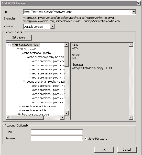
| 10. 12. 2013, 16:48 | Arcgis-wms-cuzk-0.png (soubor) |  |
11 KB | Přidání WMS služby v ArcGISu | 1 |
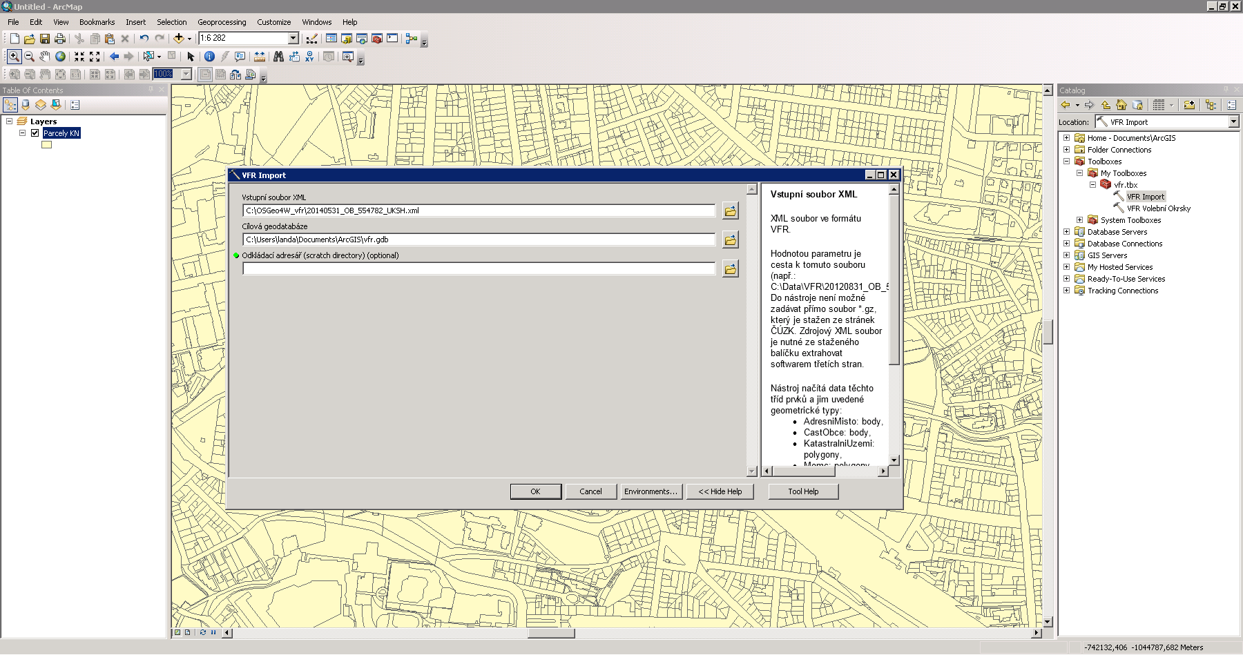
| 2. 12. 2014, 21:44 | Arcgis-vfr.png (soubor) |  |
146 KB | Import dat VFR do prostředí Esri ArcGIS {{ArcGIS}} | 1 |
| 27. 11. 2013, 10:27 | Arcgis-vektorizace-gs01-07.png (soubor) |  |
319 KB | Řešení první úlohy v systému ArcGIS {{GIS}} | 1 |
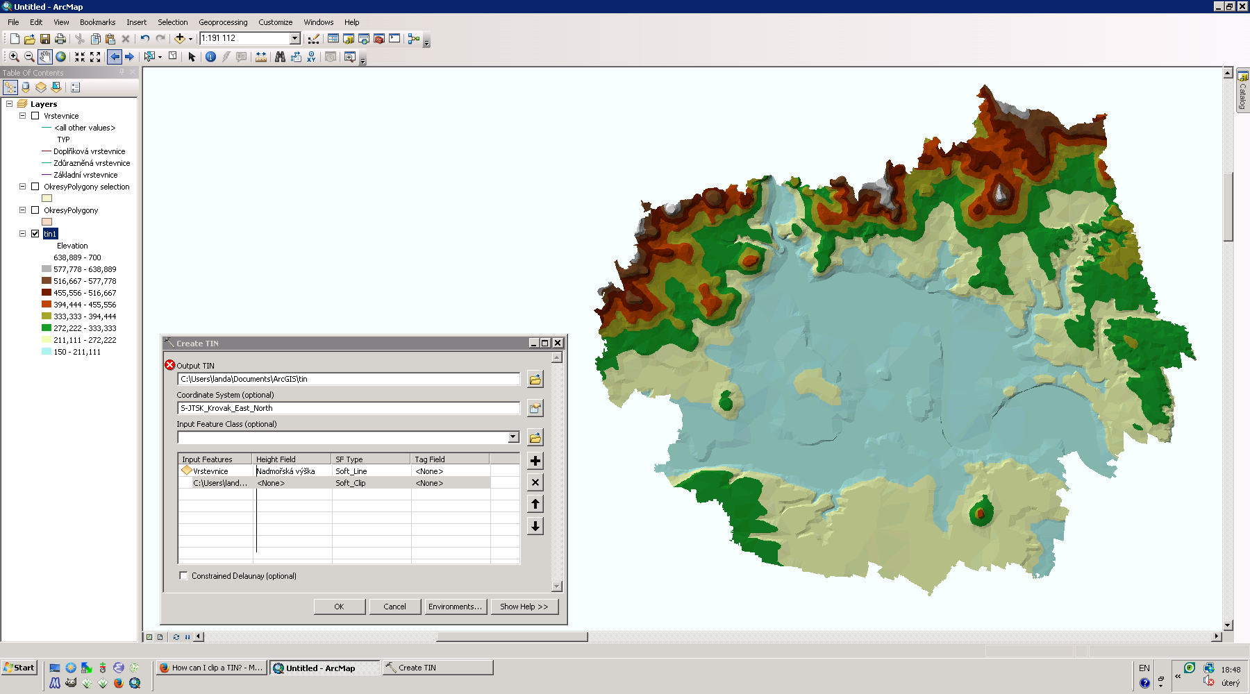
| 18. 2. 2014, 17:50 | Arcgis-tin-ltm.png (soubor) |  |
257 KB | TIN pro okres Litoměřice {{ArcGIS}} | 1 |
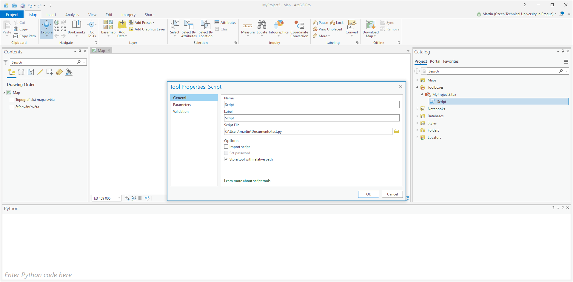
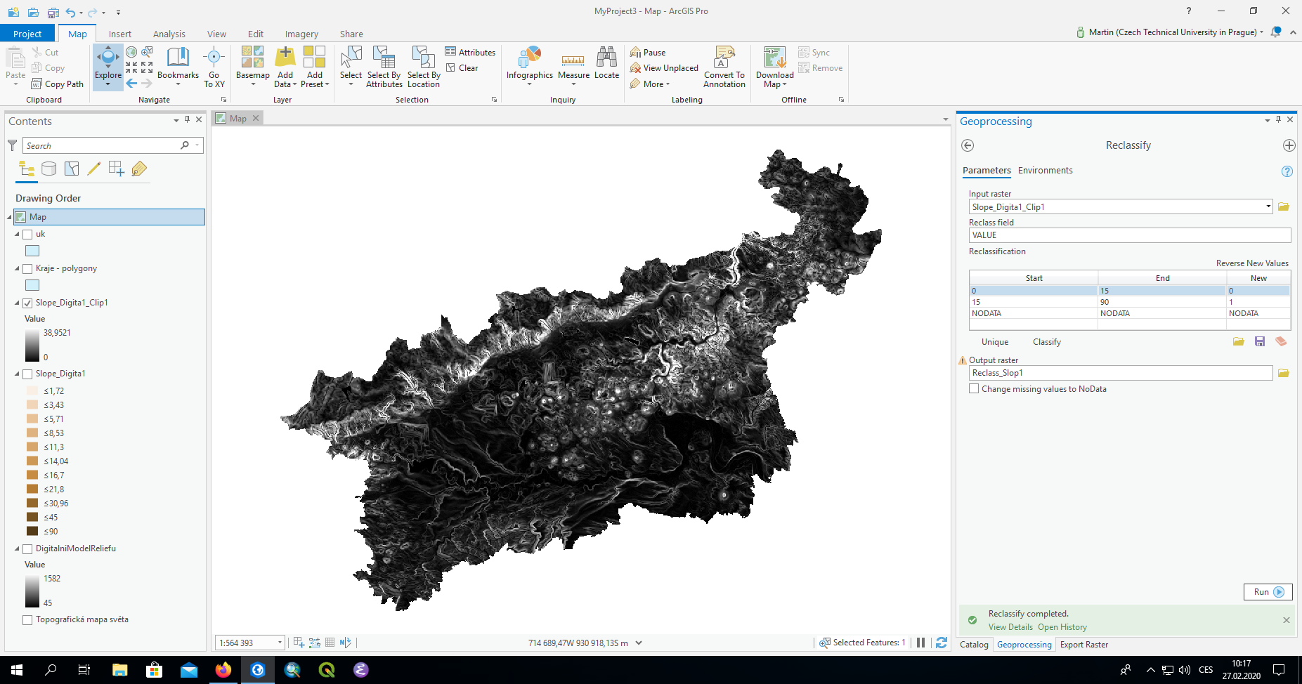
| 21. 4. 2021, 08:13 | Arcgis-pro-script.png (soubor) |  |
97 KB | Registrace skriptu v prostředí ArcGIS Pro | 1 |
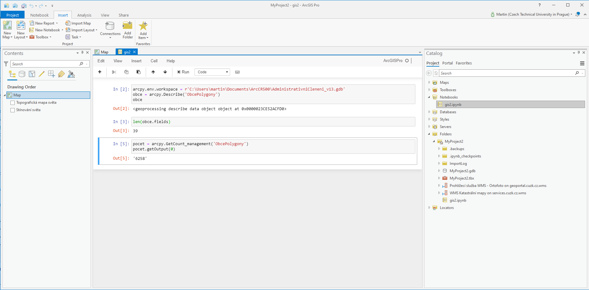
| 13. 4. 2021, 19:04 | Arcgis-pro-notebook.png (soubor) |  |
106 KB | 1 | |
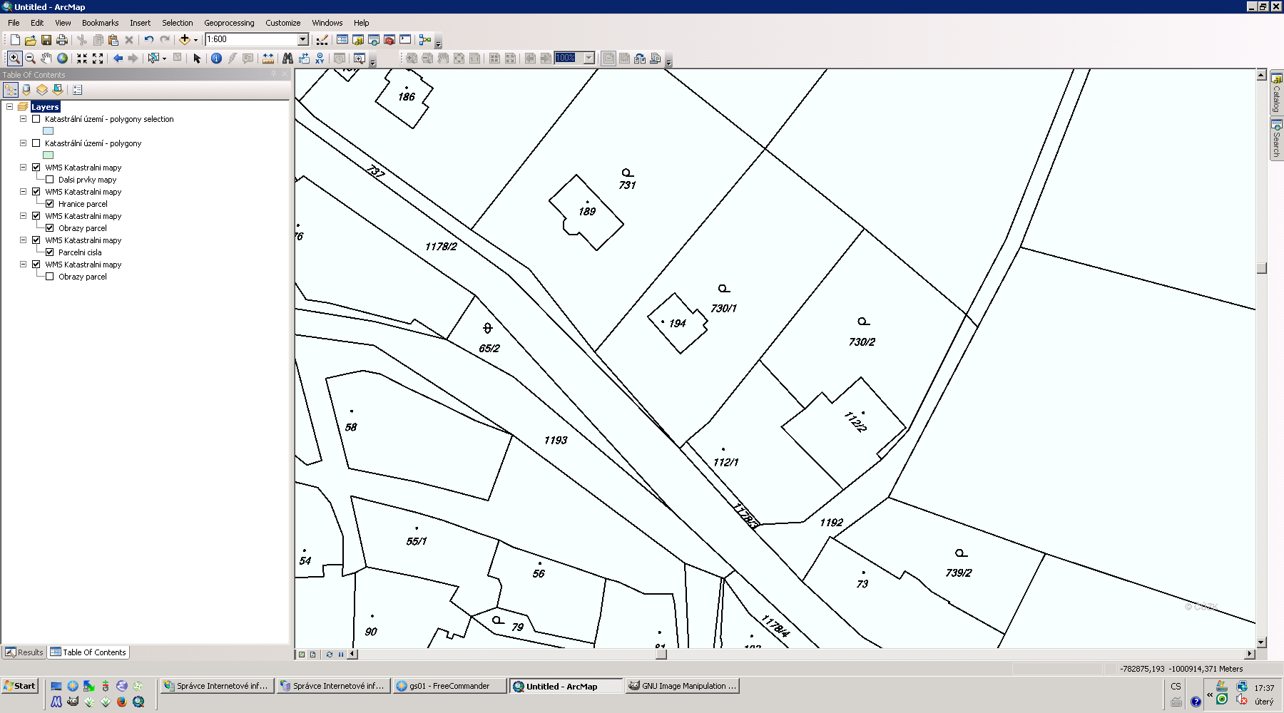
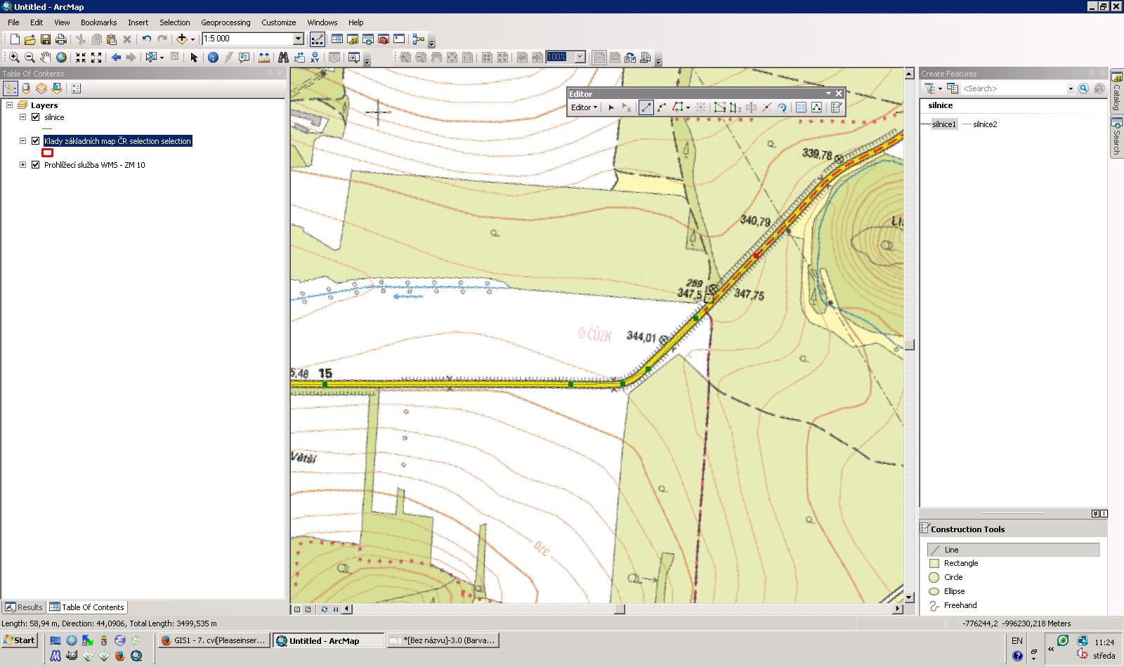
| 10. 12. 2013, 17:00 | Arcgis-parcela-dig.png (soubor) |  |
95 KB | Příklad digitalizace zvolené parcely na základě WMS | 1 |
| 19. 11. 2013, 10:33 | Arcgis-gs01-6-1.png (soubor) |  |
75 KB | Řešení první úlohy v systému ArcGIS {{GIS}} | 1 |
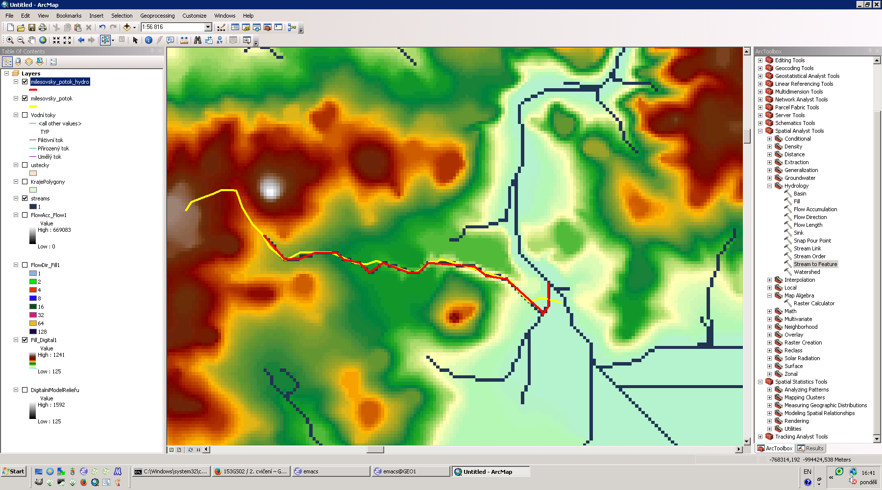
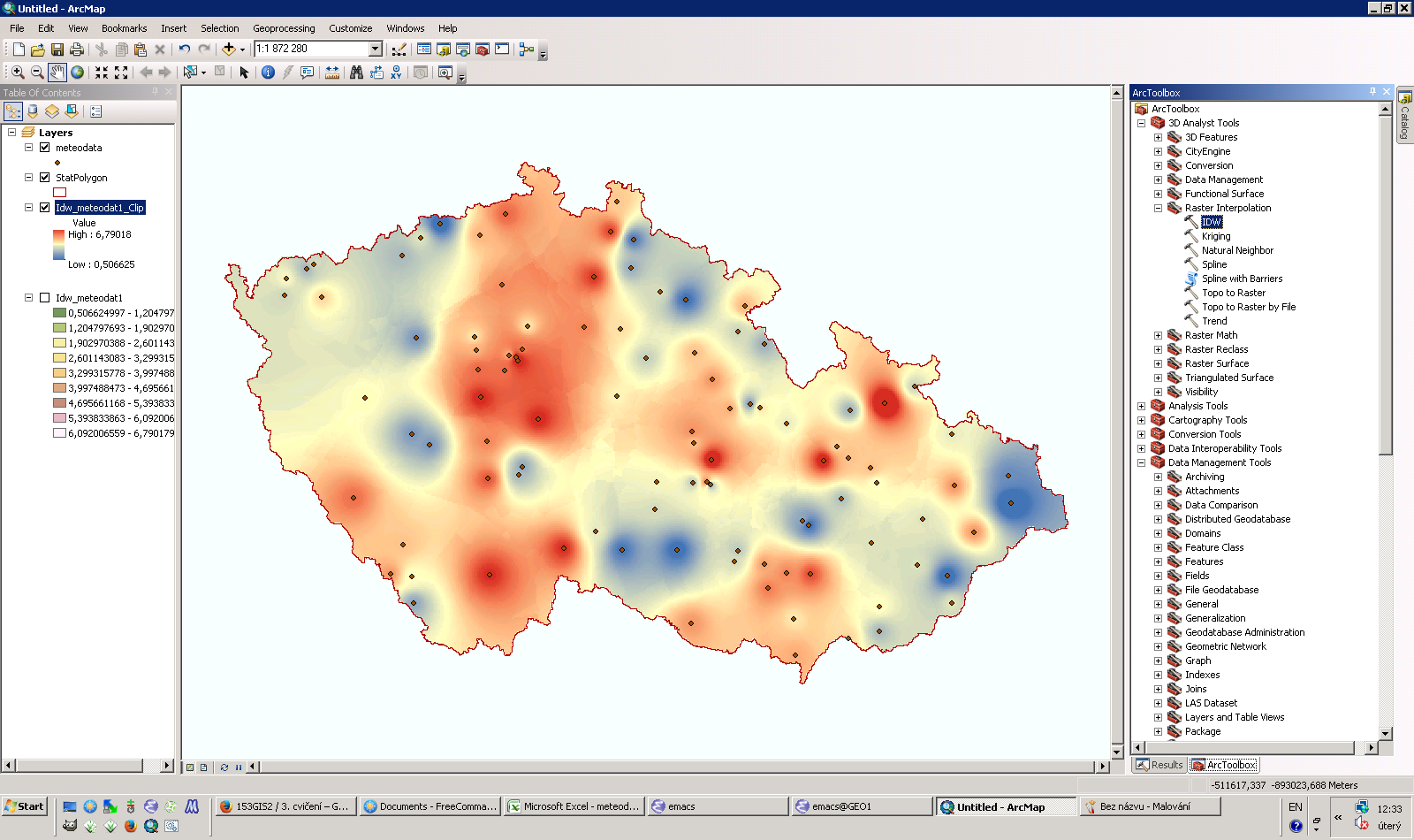
| 20. 5. 2014, 14:00 | Arcgis-gis2-cv9.png (soubor) |  |
24 KB | Řešení úlohy devátého cvičení GIS 2 v ArcGIS {{ArcGIS}} | 1 |
| 20. 5. 2014, 14:11 | Arcgis-gis2-cv9-1.png (soubor) |  |
331 KB | Spuštění úlohy modeleru v ArcGIS {{ArcGIS}} | 1 |
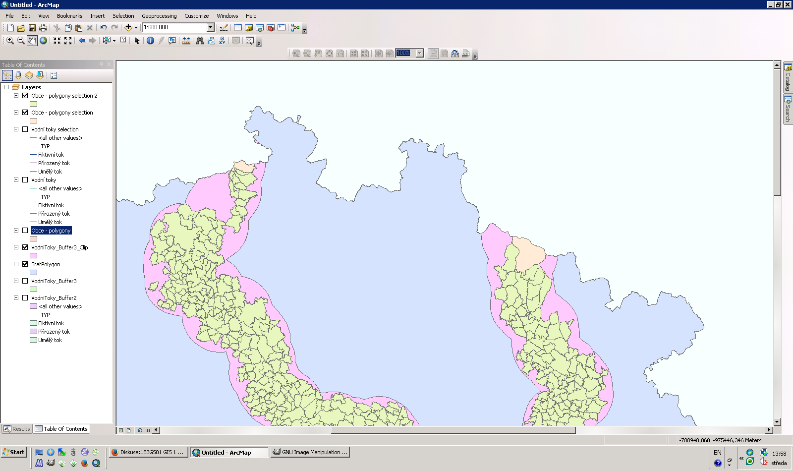
| 31. 3. 2014, 14:44 | Arcgis-gis2-cv6.png (soubor) |  |
196 KB | Řešení první a druhé úlohy pátého cvičení GIS 2 v ArcGIS {{ArcGIS}} | 1 |
| 22. 3. 2014, 13:09 | Arcgis-gis2-cv5.png (soubor) |  |
179 KB | Řešení první úlohy čtvrtého cvičení GIS 2 v ArcGIS {{ArcGIS}} | 1 |
| 11. 3. 2014, 11:23 | Arcgis-gis2-cv4.png (soubor) |  |
100 KB | Řešení první úlohy čtvrtého cvičení GIS 2 v ArcGIS {{ArcGIS}} | 1 |
| 4. 3. 2014, 11:37 | Arcgis-gis2-cv3.png (soubor) |  |
221 KB | Řešení první úlohy třetího cvičení GIS 2 v ArcGIS {{ArcGIS}} | 1 |
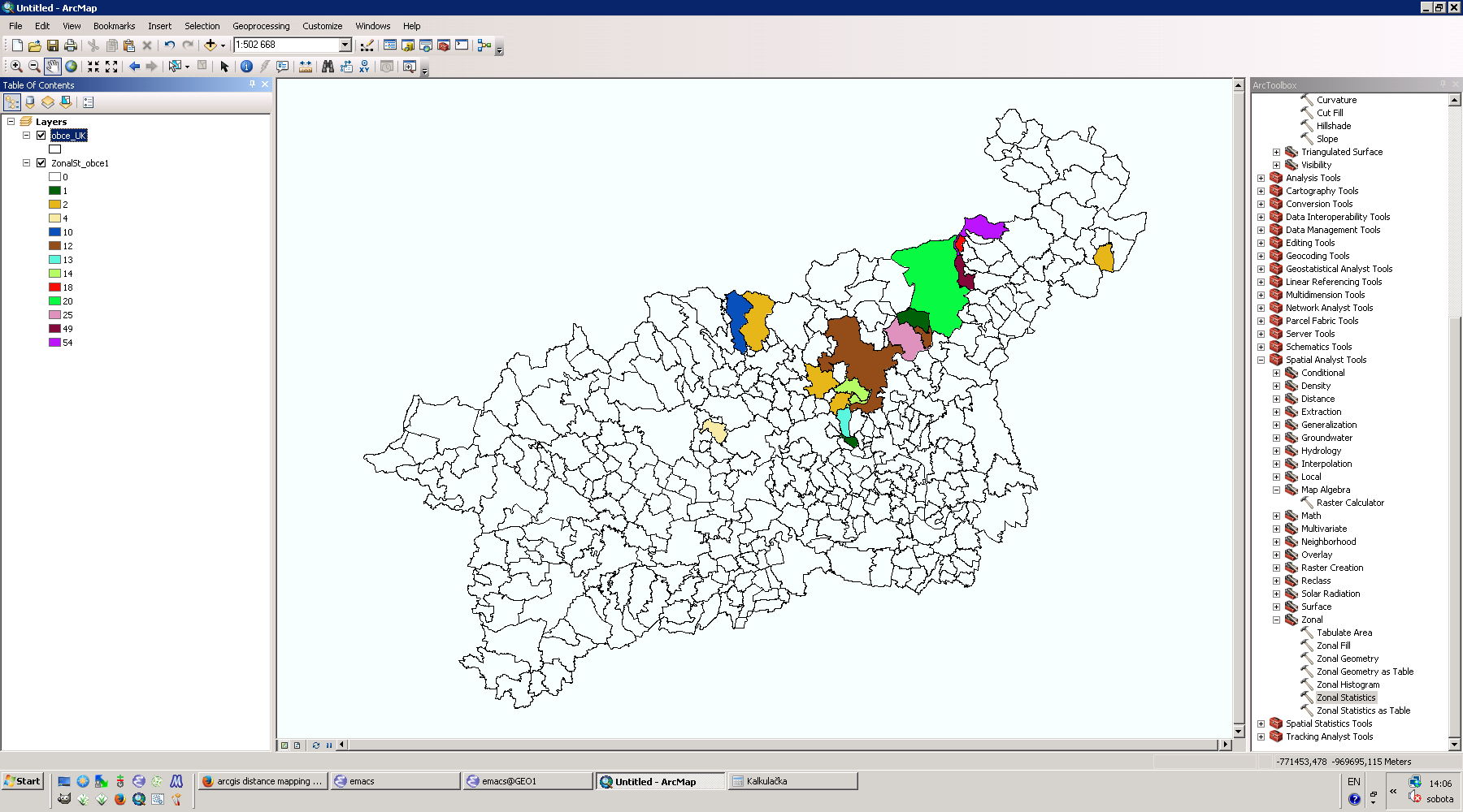
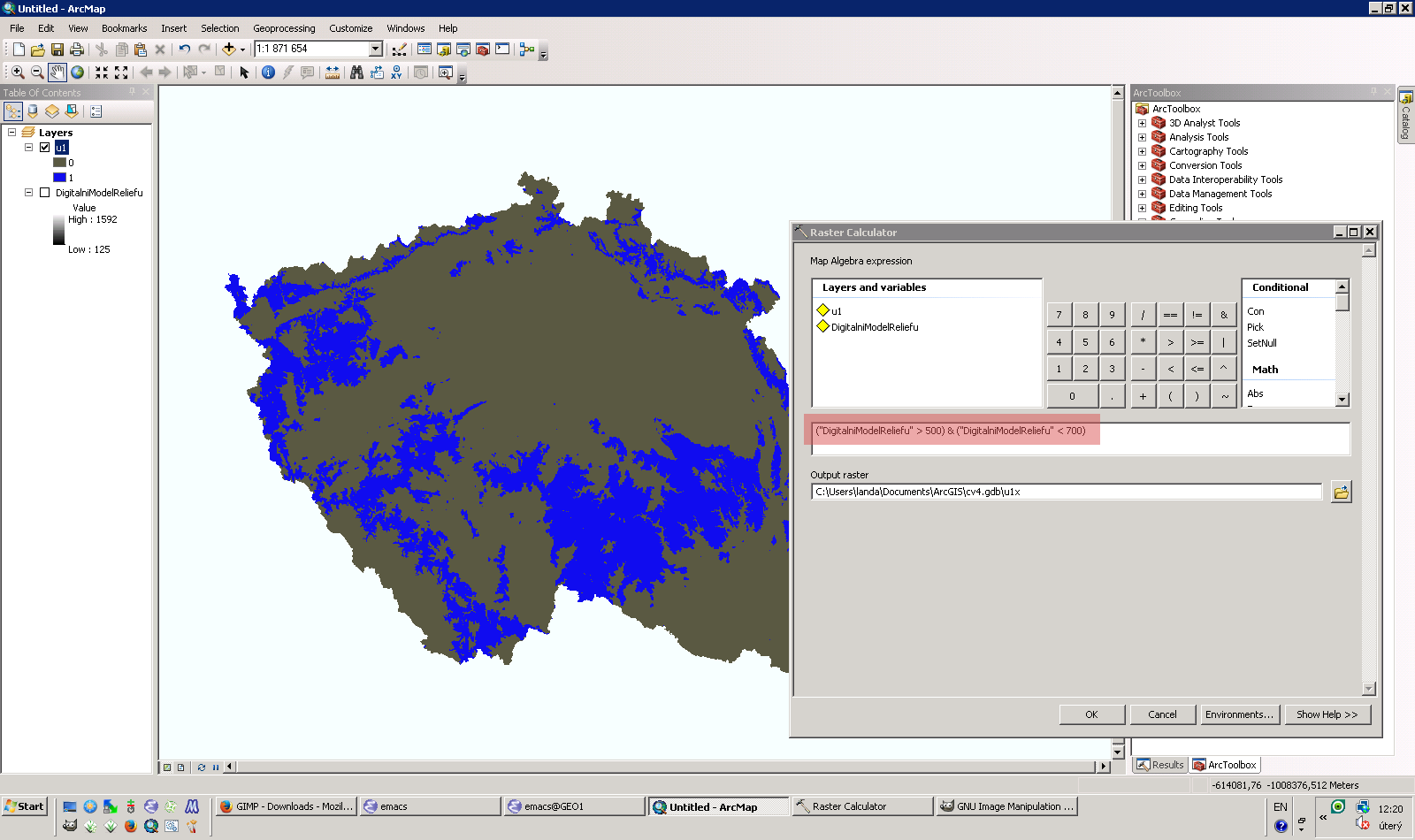
| 27. 2. 2020, 09:19 | Arcgis-gis2-cv2.png (soubor) |  |
512 KB | 2 | |
| 30. 10. 2013, 13:01 | Arcgis-gis1-4-uloha-3.png (soubor) |  |
111 KB | Porovnání prostorového vztahu "within" a "completely within" {{GIS}} | 1 |
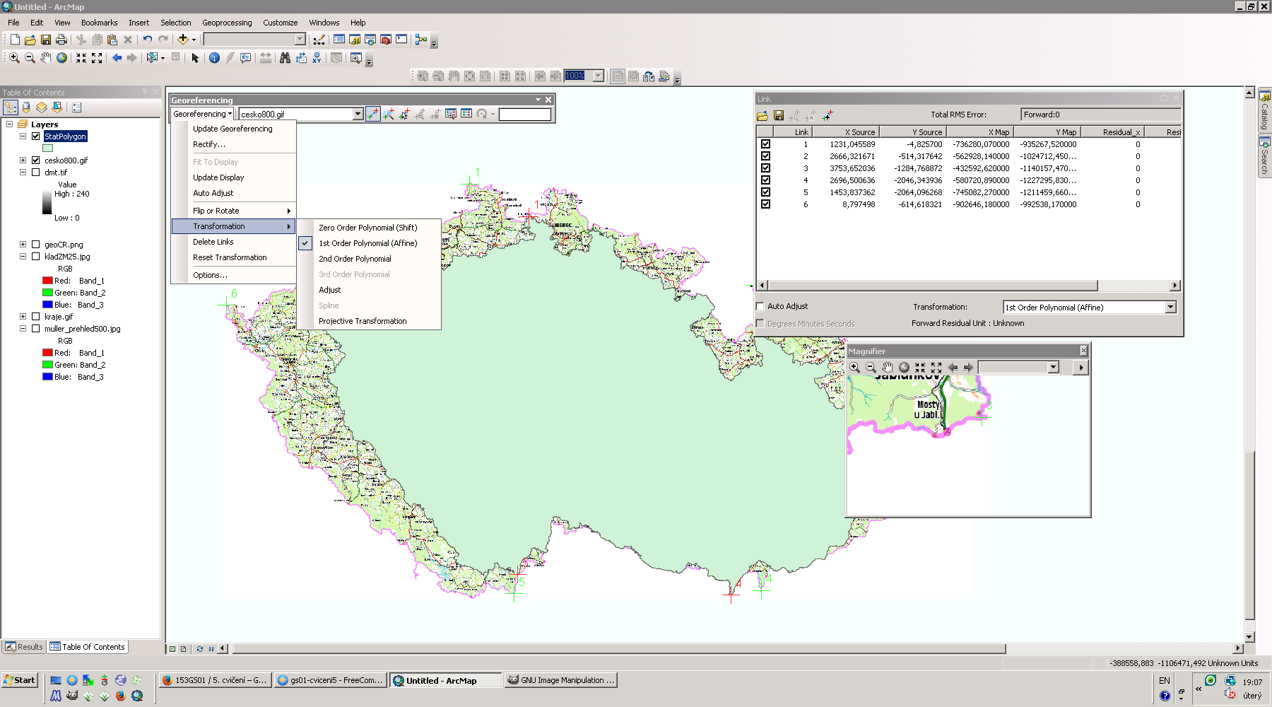
| 5. 11. 2013, 18:09 | Arcgis-georef.png (soubor) |  |
230 KB | Souřadnicové připojení rastru cesko800.gif v systému ArcGIS {{GIS}} | 1 |
| 28. 4. 2021, 17:13 | Arcgis-geoprocessing-service.png (soubor) |  |
1,17 MB | Volání geoprocessingové služby z prostředí ArcGIS Pro | 1 |